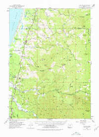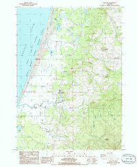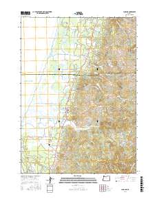
1996 Map of Langlois
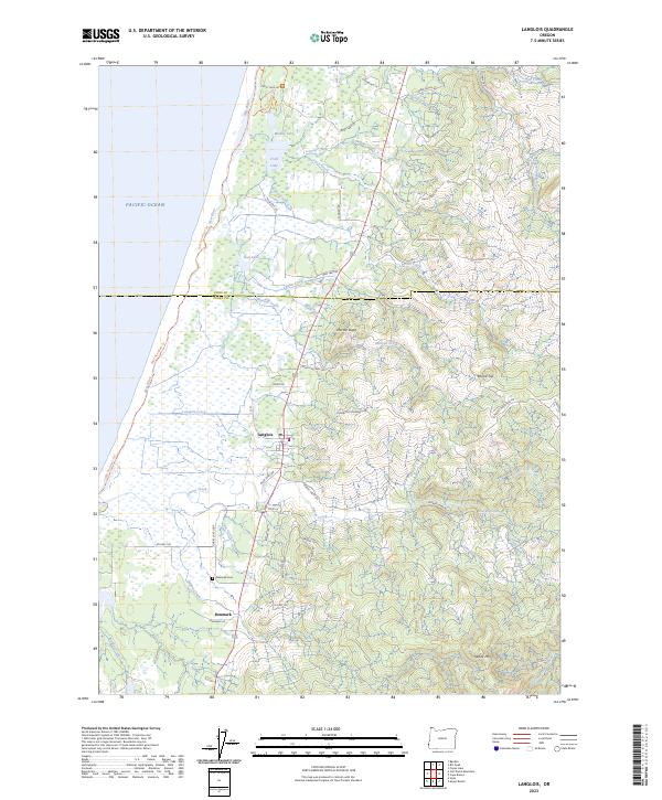
USGS Topo · Published 1999About this map
Agricultural operations and coastal wilderness define this section of the Oregon coast during the late twentieth century. The community of Langlois serves as a central hub along Highway 101, surrounded by a landscape dedicated to specialized farming, most notably the extensive Cranberry Bogs that dot the lowlands. To the south, the settlement of Denmark is situated near Willow Creek and the Denmark Cemetery, providing a specific point of interest for those tracing local family lineages.
Find a feature on this map
41 named features on this map. Tap any name to fly to it.
Don’t see what you’re looking for? This feature index may not catch every label — zoom into the map to look around manually.
Map Details
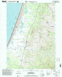
Editions of this 1996 Langlois Map
This is the sole edition of this map. No revisions or reprints were ever made.
Historical Maps of Denmark Through Time
8 maps found