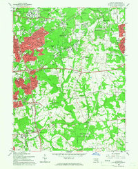
1965 Map of Lanham
USGS Topo · Published 1966About this map
The Goddard Space Flight Center (NASA) and the U S Department of Agriculture Research Center dominate the northwestern landscape of Prince George's County in the mid-1960s. This survey reveals a suburbanizing region still defined by institutional land use and open space, from the sprawling grounds of the Glenn Dale Hospital to the USDA Plant Introduction Sta. Residential clusters like Seabrook Acres, High Bridge Estates, and Hillmeade Manor are interspersed with older landmarks and infrastructure, including the Pennsylvania railroad line and the Balt. Wash. Pkwy.
Find a feature on this map
109 named features on this map. Tap any name to fly to it.
Don’t see what you’re looking for? This feature index may not catch every label — zoom into the map to look around manually.
Map Details
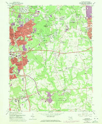
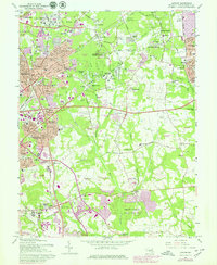
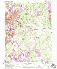
Editions of this 1965 Lanham Map
4 editions found
Other maps of this area

1892 · Laurel
USGS Topo · 1:62,500

1892 · Owensville
USGS Topo · 1:62,500

1894 · Laurel
USGS Topo · 1:62,500

1894 · Relay
USGS Topo · 1:62,500

1895 · Owensville
USGS Topo · 1:62,500

1897 · Laurel
USGS Topo · 1:62,500

1899 · Patuxent
USGS Topo · 1:125,000

1900 · Washington
USGS Topo · 1:62,500

1905 · Owensville
USGS Topo · 1:62,500

1906 · Patuxent
USGS Topo · 1:125,000