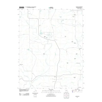
2011 Map of Lanton
USGS Topo · Published 2011About this map
Lanton and Fruitville anchor this Howell County landscape, where the Ozark Plateau is carved by a complex network of waterways and hollows. The South Fork Spring River and Myatt Creek drain the region, supplemented by family-named water bodies like Stace Shannon Lake and Clyde Stewart Lake. Genealogists and local historians can pinpoint long-standing community landmarks such as the Leo Post Office and Globe Post Office, as well as the Meltabarger Cemetery near the northern border. The terrain is defined by its numerous named hollows—including Sycamore Hollow, Meredith Hollow, and Hay Hollow—which weave between prominent features like Dividing Ridge and Middle Ridge. These labels reflect a history of rural settlement and local naming conventions where even small geographical depressions like Devils Den and Stuart Hollow were significant enough for identification. The road system, primarily composed of county routes, connects isolated hamlets like Globe and Cornertown to the larger surrounding area.
Find a feature on this map
63 named features on this map. Tap any name to fly to it.
Don’t see what you’re looking for? This feature index may not catch every label — zoom into the map to look around manually.
Map Details
Editions of this 2011 Lanton Map
This is the sole edition of this map. No revisions or reprints were ever made.
Other maps of this area

1938 · West Plains
USGS Topo · 1:24,000

1940 · West Plains
USGS Topo · 1:24,000

1943 · Thayer
USGS Topo · 1:62,500

1944 · West Plains
USGS Topo · 1:62,500

1946 · Thayer
USGS Topo · 1:62,500

1946 · West Plains
USGS Topo · 1:62,500

1950 · Salem
USGS Topo · 1:62,500

1951 · Salem
USGS Topo · 1:62,500

1957 · Poplar Bluff
USGS Topo · 1:250,000

1959 · Poplar Bluff
USGS Topo · 1:250,000