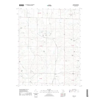
2017 Map of Lanton
USGS Topo · Published 2017About this map
Lanton serves as the central hub of this Missouri landscape, situated near the intersection of several county roads and S State Rte 17. The terrain is defined by a dense network of ridges and drainage basins, including Turkeypen Ridge and the prominent Dividing Ridge, which separate numerous family-named hollows. For genealogists, the map preserves the locations of the Meltabarger Cem in the northeast and the Cannon Graveyard to the southwest, providing vital landmarks for family history research.
Find a feature on this map
74 named features on this map. Tap any name to fly to it.
Don’t see what you’re looking for? This feature index may not catch every label — zoom into the map to look around manually.
Map Details
Editions of this 2017 Lanton Map
This is the sole edition of this map. No revisions or reprints were ever made.
Other maps of this area

1938 · West Plains
USGS Topo · 1:24,000

1940 · West Plains
USGS Topo · 1:24,000

1943 · Thayer
USGS Topo · 1:62,500

1944 · West Plains
USGS Topo · 1:62,500

1946 · Thayer
USGS Topo · 1:62,500

1946 · West Plains
USGS Topo · 1:62,500

1950 · Salem
USGS Topo · 1:62,500

1951 · Salem
USGS Topo · 1:62,500

1957 · Poplar Bluff
USGS Topo · 1:250,000

1959 · Poplar Bluff
USGS Topo · 1:250,000