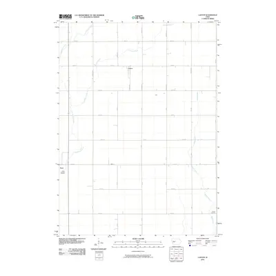
2010 Map of Lanyon
USGS Topo · Published 2010About this map
Paton and the surrounding rural townships of Greene County are depicted here in the early 21st century, showing a landscape defined by an orderly grid of section-line roads and gentle waterways. The small settlement of Lanyon sits near the northern edge, while the site of Hope marks the central portion of this agricultural region. Water drainage patterns are visible through the meandering paths of East Buttrick Creek, Lost Grove Creek, and Beaver Creek, which cut across the geometric road network of numbered streets and lettered avenues. Local history and genealogy interest is anchored by two burial sites: the Paton Township Cemetery on the western outskirts of its namesake town, and Renner Cemetery located along the banks of Beaver Creek in the southeast. This map captures the enduring rural character of central Iowa's farming heartland, where small crossroads communities and family cemeteries provide the primary landmarks among the fields.
Find a feature on this map
30 named features on this map. Tap any name to fly to it.
Don’t see what you’re looking for? This feature index may not catch every label — zoom into the map to look around manually.
Map Details
Editions of this 2010 Lanyon Map
This is the sole edition of this map. No revisions or reprints were ever made.
Other maps of this area

1923 · Lehigh
USGS Topo · 1:62,500

1951 · Ogden
USGS Topo · 1:62,500

1954 · Fort Dodge
USGS Topo · 1:250,000

1957 · Fort Dodge
USGS Topo · 1:250,000

1958 · Fort Dodge
USGS Topo · 1:250,000

1962 · Jefferson
USGS Topo · 1:62,500

1965 · Lehigh
USGS Topo · 1:24,000

1965 · Gowrie
USGS Topo · 1:24,000

1965 · Harcourt
USGS Topo · 1:24,000
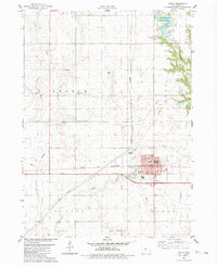
1982 · Ogden
USGS Topo · 1:24,000