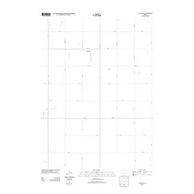
2013 Map of Lanyon
USGS Topo · Published 2013About this map
Lanyon stands at the heart of this agricultural landscape in the early 21st century, centered at the intersection of Lanyon Ave and 390th St. The surrounding terrain is defined by a rigid grid of county roads and a network of essential drainage systems that support the regional farmland. Waterways like Lost Grove Cr, E Buttrick Cr, and Beaver Cr wind through the open fields, contrasting with the straight lines of man-made features such as Ditch Number 48. Near the eastern edge of the survey area, the small settlement of Hope remains a distinct point on the map. This survey illustrates the modern persistence of the township road system, where family-named avenues such as Johnson Ave and Nelson Ave continue to mark the boundaries of local rural life and land ownership.
Find a feature on this map
32 named features on this map. Tap any name to fly to it.
Don’t see what you’re looking for? This feature index may not catch every label — zoom into the map to look around manually.
Map Details
Editions of this 2013 Lanyon Map
This is the sole edition of this map. No revisions or reprints were ever made.
Other maps of this area

1923 · Lehigh
USGS Topo · 1:62,500

1951 · Ogden
USGS Topo · 1:62,500

1954 · Fort Dodge
USGS Topo · 1:250,000

1957 · Fort Dodge
USGS Topo · 1:250,000

1958 · Fort Dodge
USGS Topo · 1:250,000

1962 · Jefferson
USGS Topo · 1:62,500

1965 · Lehigh
USGS Topo · 1:24,000

1965 · Gowrie
USGS Topo · 1:24,000

1965 · Harcourt
USGS Topo · 1:24,000
1982 · Ogden
USGS Topo · 1:24,000