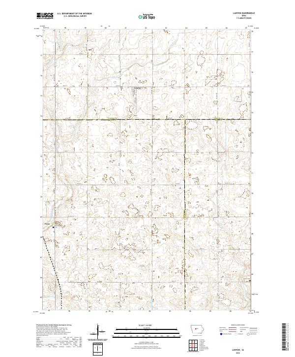
2022 Map of Lanyon
USGS Topo · Published 2022About this map
The agrarian borderlands where Greene, Webster, and Boone counties meet define this corner of the Iowa prairie. The small unincorporated community of Lanyon sits near the headwaters of Lost Grove Cr, surrounded by a rectilinear grid of section roads like Indiana Ave and 380th St that reflect the enduring influence of the Public Land Survey System. To the southwest, the town of Paton marks a local center of activity near the Paton Township Cem.
Find a feature on this map
43 named features on this map. Tap any name to fly to it.
Don’t see what you’re looking for? This feature index may not catch every label — zoom into the map to look around manually.
Map Details
Editions of this 2022 Lanyon Map
This is the sole edition of this map. No revisions or reprints were ever made.
Other maps of this area

1923 · Lehigh
USGS Topo · 1:62,500

1951 · Ogden
USGS Topo · 1:62,500

1954 · Fort Dodge
USGS Topo · 1:250,000

1957 · Fort Dodge
USGS Topo · 1:250,000

1958 · Fort Dodge
USGS Topo · 1:250,000

1962 · Jefferson
USGS Topo · 1:62,500

1965 · Lehigh
USGS Topo · 1:24,000

1965 · Gowrie
USGS Topo · 1:24,000

1965 · Harcourt
USGS Topo · 1:24,000
1982 · Ogden
USGS Topo · 1:24,000