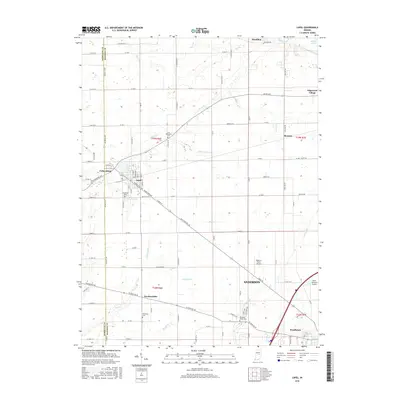
2016 Map of Lapel
USGS Topo · Published 2016About this map
Lapel and Fishersburg anchor this 2016 survey along the Hamilton and Madison county line, where the landscape is defined by the winding course of Stony Cr and Indian Camp Cr. This portion of Indiana reveals a transition from the structured grid of rural township roads like Atlantic Rd and Lone Oak Rd to the developing corridors of Pendleton and Edgewood Village. The map is particularly useful for local historians, as it documents several burial grounds including Old Woodward Cem, Brookside Cem, and the Nicholson Cem.
Find a feature on this map
95 named features on this map. Tap any name to fly to it.
Don’t see what you’re looking for? This feature index may not catch every label — zoom into the map to look around manually.
Map Details
Editions of this 2016 Lapel Map
This is the sole edition of this map. No revisions or reprints were ever made.
Other maps of this area

1952 · Ingalls
USGS Topo · 1:24,000

1952 · Mc Cordsville
USGS Topo · 1:24,000

1952 · Anderson
USGS Topo · 1:24,000

1953 · Pendleton
USGS Topo · 1:24,000

1953 · Lapel
USGS Topo · 1:24,000

1953 · Riverwood
USGS Topo · 1:24,000

1953 · Cincinnati
USGS Topo · 1:250,000

1953 · Muncie
USGS Topo · 1:250,000

1956 · Muncie
USGS Topo · 1:250,000

1957 · Cincinnati
USGS Topo · 1:250,000