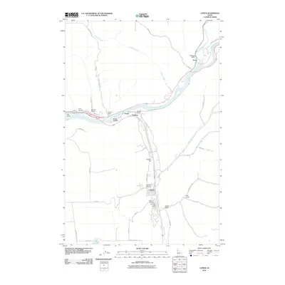
2010 Map of Lapwai
USGS Topo · Published 2010About this map
The Clearwater River and its major tributaries shape the landscape of this Nez Perce County region, where the Potlatch River enters from the north and Lapwai Creek flows from the south. The settlement of Lapwai serves as a primary hub, home to the North Idaho Indian Agency located near Beaver Canyon. This area is characterized by deep ravines and gulches, such as Coyote Gulch and Soldiers Canyon, which break the plateau surrounding Thunder Hill.
Find a feature on this map
51 named features on this map. Tap any name to fly to it.
Don’t see what you’re looking for? This feature index may not catch every label — zoom into the map to look around manually.
Map Details
Editions of this 2010 Lapwai Map
This is the sole edition of this map. No revisions or reprints were ever made.
Other maps of this area

1955 · Pullman
USGS Topo · 1:250,000

1958 · Pullman
USGS Topo · 1:250,000

1958 · Lapwai
USGS Topo · 1:24,000

1958 · Sweetwater
USGS Topo · 1:24,000

1958 · Lewiston Orchards North
USGS Topo · 1:24,000

1958 · Lewiston Orchards South
USGS Topo · 1:24,000

1958 · Lewiston Orchards
USGS Topo · 1:62,500

1958 · Culdesac
USGS Topo · 1:62,500

1961 · Kendrick
USGS Topo · 1:62,500

1961 · Moscow
USGS Topo · 1:62,500