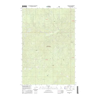
2017 Map of Larch Butte
USGS Topo · Published 2017About this map
Clearwater National Forest defines the landscape of this Idaho interior, where the North Fork Clearwater River watershed is etched by a complex network of creeks. Significant elevation shifts are marked by prominent points like Gobblers Knob and Sevenmile Point, while ridgelines such as Tamarack Ridge and Hemlock Ridge provide the structural backbone for the region's geography. Access through this backcountry is facilitated by forest routes including French Mountain Rd and Three Bear Rd. The drainage patterns are intricate, with Orogrande Cr and Tamarack Cr carving deep valleys through the timbered terrain. This survey provides a clear look at the topographic character of the region near Larch Butte, illustrating the relationship between the high Sylvan Saddle and the various watercourses like Sylvan Cr that feed the river systems below.
Find a feature on this map
37 named features on this map. Tap any name to fly to it.
Don’t see what you’re looking for? This feature index may not catch every label — zoom into the map to look around manually.
Map Details
Editions of this 2017 Larch Butte Map
This is the sole edition of this map. No revisions or reprints were ever made.
Other maps of this area

1911 · Lolo
USGS Topo · 1:250,000

1913 · Lolo
USGS Topo · 1:250,000

1923 · Washington Creek
USGS Topo · 1:125,000

1924 · Weippe
USGS Topo · 1:125,000

1956 · Hamilton
USGS Topo · 1:250,000

1959 · Hamilton
USGS Topo · 1:250,000

1960 · Hamilton
USGS Topo · 1:250,000

1963 · Clarke Mtn
USGS Topo · 1:24,000

1964 · Hamilton
USGS Topo · 1:250,000

1965 · Lean-to Point
USGS Topo · 1:24,000