
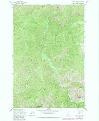
1965 Map of Lean-to Point
USGS Topo · Published 1967About this map
Weitas Creek dominates this mid-century survey of the Clearwater National Forest, flowing through a landscape defined by sharp elevation changes and high mountain points. The map documents a primitive transportation network consisting of several Pack Trail routes that connect remote outposts and peaks. Notable landmarks of the era include Weitas Station and seasonal high-country locations like Wedge Camp and Horse Camp.
Find a feature on this map
32 named features on this map. Tap any name to fly to it.
Don’t see what you’re looking for? This feature index may not catch every label — zoom into the map to look around manually.
Map Details
Editions of this 1965 Lean-to Point Map
2 editions found
Other maps of this area

1911 · Lolo
USGS Topo · 1:250,000

1913 · Lolo
USGS Topo · 1:250,000

1923 · Washington Creek
USGS Topo · 1:125,000

1924 · Weippe
USGS Topo · 1:125,000

1956 · Hamilton
USGS Topo · 1:250,000

1959 · Hamilton
USGS Topo · 1:250,000

1960 · Hamilton
USGS Topo · 1:250,000

1963 · Clarke Mtn
USGS Topo · 1:24,000

1964 · Hamilton
USGS Topo · 1:250,000

1965 · Junction Mtn
USGS Topo · 1:24,000