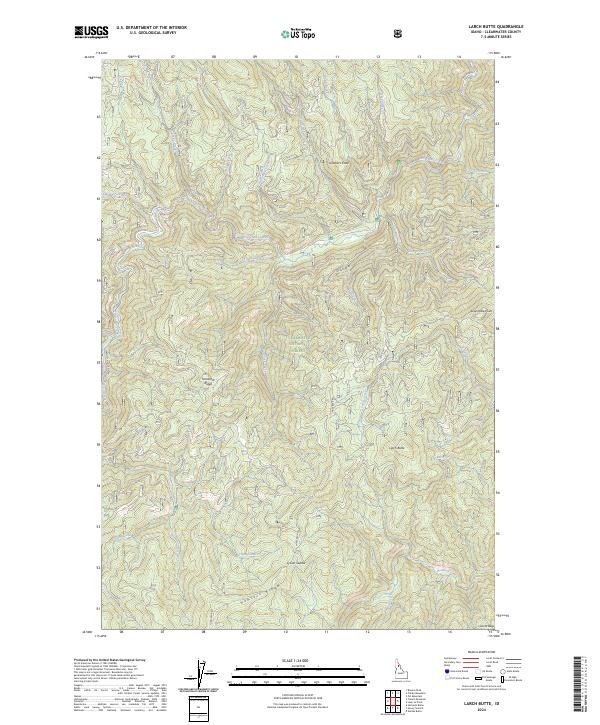
2024 Map of Larch Butte
USGS Topo · Published 2024About this map
Clearwater National Forest dominates this section of north-central Idaho, where the drainage patterns of several creeks reveal the complex hydrology of the Bitterroot Range. The topography is defined by high-elevation landmarks such as Larch Butte and Gobblers Knob, which anchor a landscape of steep timbered ridges and deep-cut stream valleys. A network of forest service and county roads, including French Mountain Rd and Three Bear Rd, trace the high ground, connecting remote lookouts and ridges like Tamarack Ridge and Hemlock Ridge. Watercourses such as Orogrande Creek, Tama Creek, and Hemlock Creek flow through the interior, illustrating the source waters that feed the larger regional river systems. This map captures the modern management of this public land, showing the intersection of historical naming conventions and contemporary forestry access routes through landmarks like Sylvan Saddle and Lean-To Ridge.
Find a feature on this map
37 named features on this map. Tap any name to fly to it.
Don’t see what you’re looking for? This feature index may not catch every label — zoom into the map to look around manually.
Map Details
Editions of this 2024 Larch Butte Map
This is the sole edition of this map. No revisions or reprints were ever made.
Other maps of this area

1911 · Lolo
USGS Topo · 1:250,000

1913 · Lolo
USGS Topo · 1:250,000

1923 · Washington Creek
USGS Topo · 1:125,000

1924 · Weippe
USGS Topo · 1:125,000

1956 · Hamilton
USGS Topo · 1:250,000

1959 · Hamilton
USGS Topo · 1:250,000

1960 · Hamilton
USGS Topo · 1:250,000

1963 · Clarke Mtn
USGS Topo · 1:24,000

1964 · Hamilton
USGS Topo · 1:250,000

1965 · Lean-to Point
USGS Topo · 1:24,000