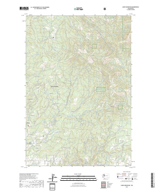
2023 Map of Larch Mountain
USGS Topo · Published 2023About this map
Livingston Mtn and Spud Mtn rise above a landscape defined by the drainage systems of the Washougal River and the East Fork Little Washougal River. The southern portion of the map shows residential expansion near Fern Prairie and Ireland, where a dense network of local roads like NE Wylie Rd and NE Stauffer Rd service the foothills. To the north and east, the terrain transitions into the protected wilderness of the Gifford Pinchot National Forest, marked by steep elevations and creek-carved valleys.
Find a feature on this map
65 named features on this map. Tap any name to fly to it.
Don’t see what you’re looking for? This feature index may not catch every label — zoom into the map to look around manually.
Map Details
Editions of this 2023 Larch Mountain Map
This is the sole edition of this map. No revisions or reprints were ever made.
Historical Maps of Clark County Through Time
14 maps found
1954 Lacamas Creek
Clark County, WA
1971 Ariel
Clark County, WA
1986 Dole
Clark County, WA
1986 Larch Mtn
Clark County, WA
1986 Yale Dam
Clark County, WA
1990 Lacamas Creek
Clark County, WA
2000 Dole
Clark County, WA
2000 Larch Mountain
Clark County, WA
2000 Yale Dam
Clark County, WA
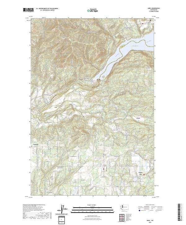
2023 Ariel
Clark County, WA
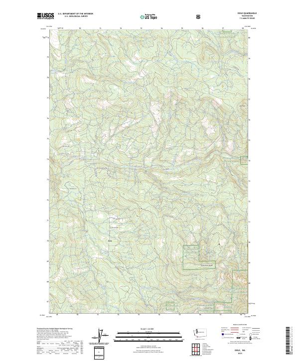
2023 Dole
Clark County, WA
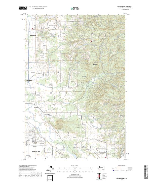
2023 Lacamas Creek
Clark County, WA
2023 Larch Mountain
Clark County, WA
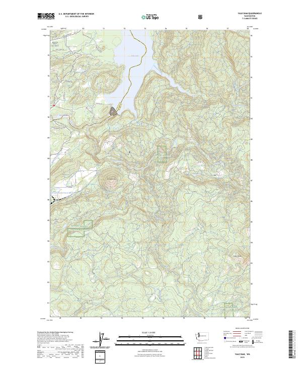
2023 Yale Dam
Clark County, WA