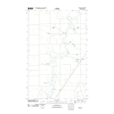
2011 Map of Laredo
USGS Topo · Published 2011About this map
Laredo sits along the eastern edge of this landscape in Hill County, where the plains of north-central Montana meet a series of complex seasonal drainages. The area is defined by the winding course of Big Sandy Creek, which is fed by numerous topographical features including Schwartz Coulee, Antelope Coulee, and Dry Fork Coulee. The map reveals a highly managed water system across the Laredo Flats, characterized by a dense concentration of small-scale infrastructure.
Find a feature on this map
19 named features on this map. Tap any name to fly to it.
Don’t see what you’re looking for? This feature index may not catch every label — zoom into the map to look around manually.
Map Details
Editions of this 2011 Laredo Map
This is the sole edition of this map. No revisions or reprints were ever made.
Other maps of this area

1904 · Assinniboine
USGS Topo · 1:62,500

1904 · Boxelder
USGS Topo · 1:62,500

1906 · Kremlin
USGS Topo · 1:62,500

1906 · Boxelder
USGS Topo · 1:62,500

1912 · Thibedeau Lake
USGS Topo · 1:125,000

1919 · Big Sandy
USGS Topo · 1:125,000

1920 · Gildford
USGS Topo · 1:125,000

1943 · Gildford
USGS Topo · 1:125,000

1953 · Havre
USGS Topo · 1:250,000

1954 · Shelby
USGS Topo · 1:250,000