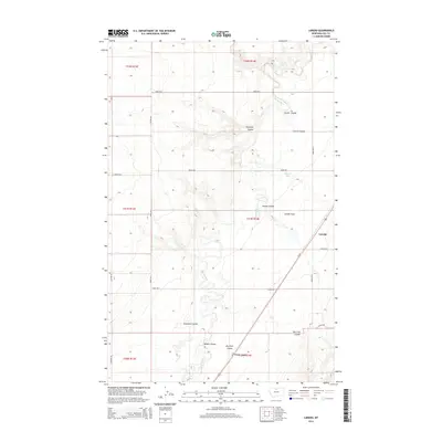
2014 Map of Laredo
USGS Topo · Published 2014About this map
The settlement of Laredo sits at the intersection of Us-87 and Road 90 S, anchoring a landscape defined by the drainage patterns of Hill County. The topography is dominated by numerous coulees—deep, often dry streambeds characteristic of the northern plains—including Schwartz Coulee, Middle Coulee, and Dry Fork Coulee. These features carve through the high ground, eventually feeding toward Big Sandy Cr as it winds through the central portion of the map.
Find a feature on this map
25 named features on this map. Tap any name to fly to it.
Don’t see what you’re looking for? This feature index may not catch every label — zoom into the map to look around manually.
Map Details
Editions of this 2014 Laredo Map
This is the sole edition of this map. No revisions or reprints were ever made.
Other maps of this area

1904 · Assinniboine
USGS Topo · 1:62,500

1904 · Boxelder
USGS Topo · 1:62,500

1906 · Kremlin
USGS Topo · 1:62,500

1906 · Boxelder
USGS Topo · 1:62,500

1912 · Thibedeau Lake
USGS Topo · 1:125,000

1919 · Big Sandy
USGS Topo · 1:125,000

1920 · Gildford
USGS Topo · 1:125,000

1943 · Gildford
USGS Topo · 1:125,000

1953 · Havre
USGS Topo · 1:250,000

1954 · Shelby
USGS Topo · 1:250,000