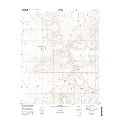
2013 Map of Largo Mesa
USGS Topo · Published 2013About this map
The Apache National Forest dominates this high-elevation landscape in Catron County, defined by the prominent landforms of Largo Mesa and Agua Fria Mtn. This region is a study in water management for ranching and forest operations, as evidenced by a network of named catchment basins including Telephone Tank, Picture Tank, and Bobcat Tank. The intersection of State Hwy 32 and State Hwy 103 provides the primary access through the drainage of Largo Cr, which carves through the terrain near landmarks like Castle Rock. Topographic details reveal the complex geography of the area, from the depths of French Canyon and Sawmill Canyon to the heights of Escondido Mtn. Notable natural water sources like Agua Fria Spring and Chavez Lake suggest the critical points of hydration in this arid forest environment.
Find a feature on this map
67 named features on this map. Tap any name to fly to it.
Don’t see what you’re looking for? This feature index may not catch every label — zoom into the map to look around manually.
Map Details
Editions of this 2013 Largo Mesa Map
This is the sole edition of this map. No revisions or reprints were ever made.
Other maps of this area

1954 · Saint Johns
USGS Topo · 1:250,000

1957 · Saint Johns
USGS Topo · 1:250,000

1958 · Saint Johns
USGS Topo · 1:250,000

1962 · Saint Johns
USGS Topo · 1:250,000

1967 · Quemado
USGS Topo · 1:24,000
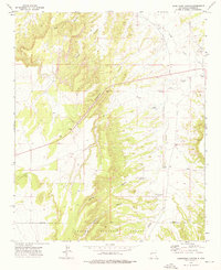
1972 · Armstrong Canyon
USGS Topo · 1:24,000
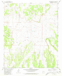
1981 · Ponderosa Tank
USGS Topo · 1:24,000
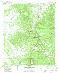
1981 · Largo Mesa
USGS Topo · 1:24,000
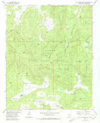
1981 · Gallo Mountains East
USGS Topo · 1:24,000
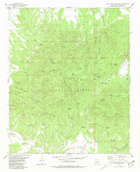
1981 · Gallo Mountains West
USGS Topo · 1:24,000