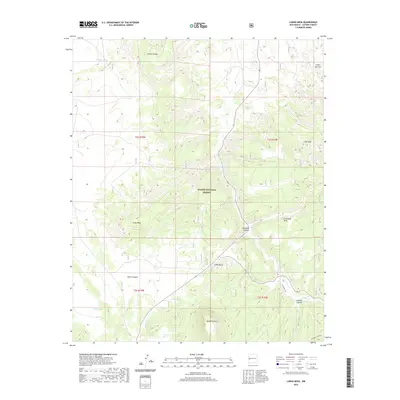
2020 Map of Largo Mesa
USGS Topo · Published 2020About this map
Apache National Forest lands dominate this high-altitude landscape in western New Mexico, where the topography is defined by the massive Largo Mesa and neighboring Escondido Mesa. The area is a complex network of drainage systems and isolated peaks, such as Agua Fria Mtn and the distinct landmark of Castle Rock. This map provides a detailed view of the terrain before major modern development, highlighting how water resources were managed through features like William Tank, Armijo Tank, and Leon Tank. These cattle tanks and the presence of Agua Fria Spring indicate the critical nature of water management for ranching and forest maintenance in this arid environment. Transportation through this remote stretch of Catron County is facilitated by State Hwy 103 and Route 32, which wind through the deeply cut valleys of Sawmill Canyon and French Canyon.
Find a feature on this map
26 named features on this map. Tap any name to fly to it.
Don’t see what you’re looking for? This feature index may not catch every label — zoom into the map to look around manually.
Map Details
Editions of this 2020 Largo Mesa Map
This is the sole edition of this map. No revisions or reprints were ever made.
Other maps of this area

1954 · Saint Johns
USGS Topo · 1:250,000

1957 · Saint Johns
USGS Topo · 1:250,000

1958 · Saint Johns
USGS Topo · 1:250,000

1962 · Saint Johns
USGS Topo · 1:250,000

1967 · Quemado
USGS Topo · 1:24,000
1972 · Armstrong Canyon
USGS Topo · 1:24,000
1981 · Ponderosa Tank
USGS Topo · 1:24,000
1981 · Largo Mesa
USGS Topo · 1:24,000
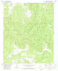
1981 · Gallo Mountains East
USGS Topo · 1:24,000
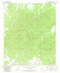
1981 · Gallo Mountains West
USGS Topo · 1:24,000