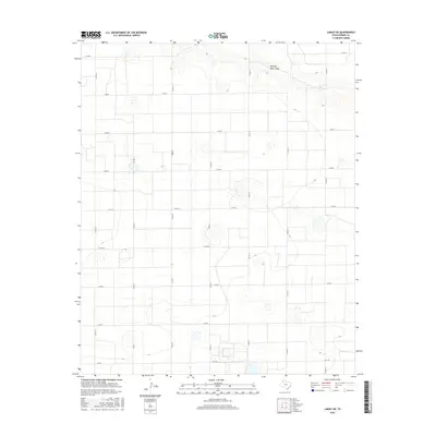
2016 Map of Lariat NE
USGS Topo · Published 2016About this map
Running Water Draw cuts through the northeast corner of this West Texas landscape, providing a rare topographical break in the otherwise strictly gridded agricultural plains of Parmer County. The map reveals a highly structured rural environment defined by a dense network of county roads, such as Co Rd 12 and Co Rd 14, which partition the land into precise squares. These corridors facilitate the movement of local transit and agricultural goods across the High Plains.
Find a feature on this map
18 named features on this map. Tap any name to fly to it.
Don’t see what you’re looking for? This feature index may not catch every label — zoom into the map to look around manually.
Map Details
Editions of this 2016 Lariat NE Map
This is the sole edition of this map. No revisions or reprints were ever made.
Other maps of this area

1954 · Clovis
USGS Topo · 1:250,000

1958 · Clovis
USGS Topo · 1:250,000

1963 · Lariat
USGS Topo · 1:24,000

1963 · Clays Corner
USGS Topo · 1:24,000

1963 · Oklahoma Lane
USGS Topo · 1:24,000

1963 · Lariat NE
USGS Topo · 1:24,000

1963 · Lazbuddie SW
USGS Topo · 1:24,000

1963 · Progress
USGS Topo · 1:24,000

1965 · Bovina
USGS Topo · 1:24,000

1965 · Parmerton
USGS Topo · 1:24,000