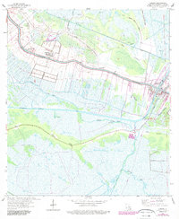
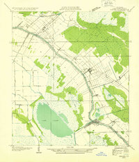
1963 Map of Larose
USGS Topo · Published 1989About this map
Bayou Lafourche anchors this coastal Louisiana landscape, serving as the primary corridor for settlement and industry during the mid-20th century. The towns of Larose and Valentine are situated along its banks, where narrow strip-lot property lines reflect the traditional French arpent land system common to the region. Between these settlements lies the smaller hamlet of Ludevine, while the Southern Pacific railroad and the Intracoastal Waterway provided critical transportation links for the local economy.
Find a feature on this map
32 named features on this map. Tap any name to fly to it.
Don’t see what you’re looking for? This feature index may not catch every label — zoom into the map to look around manually.
Map Details
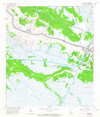
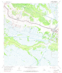
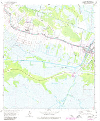
Editions of this 1963 Larose Map
4 editions found
Other maps of this area

1892 · Cut-Off
USGS Topo · 1:62,500

1892 · Houma
USGS Topo · 1:62,500

1894 · Lake Felicity
USGS Topo · 1:62,500

1894 · Dulac
USGS Topo · 1:62,500

1932 · Houma SE
USGS Topo · 1:31,680
1932 · Houma NE
USGS Topo · 1:31,680

1935 · Viguerie Canal
USGS Topo · 1:31,680
1935 · Montegut
USGS Topo · 1:31,680
1935 · Golden Meadow
USGS Topo · 1:31,680

1939 · Cut-Off
USGS Topo · 1:62,500