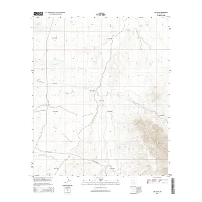
2014 Map of Las Guijas
USGS Topo · Published 2014About this map
Altar Valley dominates this landscape in southern Pima County, where the desert floor is carved by an intricate network of ephemeral drainages. The settlement of Secundino sits near the center of the sheet, positioned along the central Altar Wash, while Las Guijas is located further east at the foot of the Las Guijas Mountains. This 2014 survey reveals a region defined by water management in an arid environment, characterized by numerous small catchment basins such as Tequila Tank, Lindberg Tank, and Boice Tank.
Find a feature on this map
42 named features on this map. Tap any name to fly to it.
Don’t see what you’re looking for? This feature index may not catch every label — zoom into the map to look around manually.
Map Details
Editions of this 2014 Las Guijas Map
This is the sole edition of this map. No revisions or reprints were ever made.
Other maps of this area

1920 · Arivaca
USGS Topo · 1:125,000

1940 · Palo Alto Ranch
USGS Topo · 1:62,500

1941 · Presumido Peak
USGS Topo · 1:62,500

1941 · Baboquivari Peak
USGS Topo · 1:62,500

1941 · Arivaca
USGS Topo · 1:62,500

1943 · Fresnal
USGS Topo · 1:125,000

1943 · Arivaca
USGS Topo · 1:62,500

1943 · Palo Alto Ranch
USGS Topo · 1:62,500

1943 · Presumido Peak
USGS Topo · 1:62,500

1944 · Baboquivari Peak
USGS Topo · 1:62,500