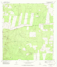
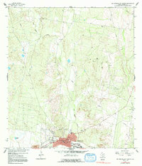
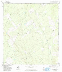
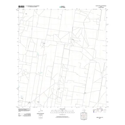
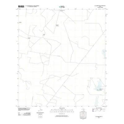
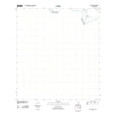
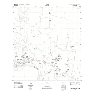
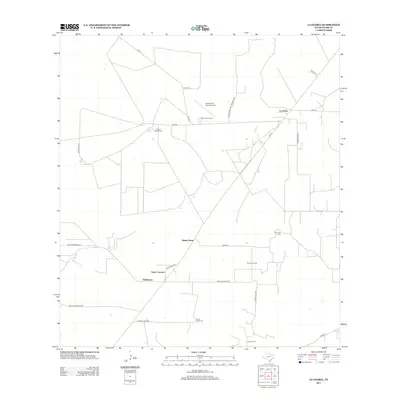
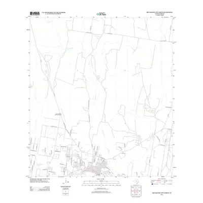
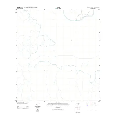
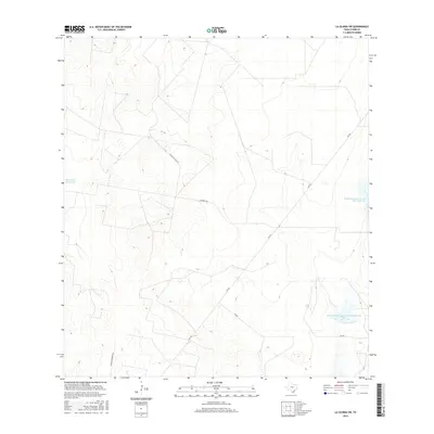
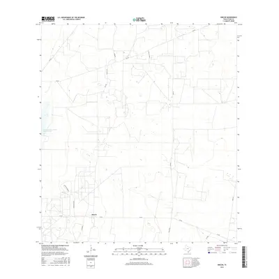
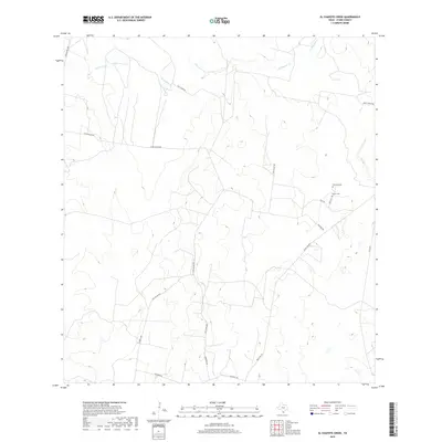
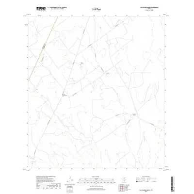
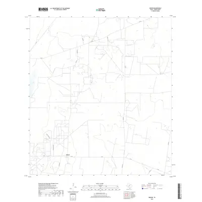
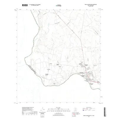
1972 Map of Las Islas Ranch
USGS Topo · Published 1975About this map
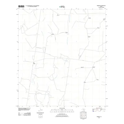
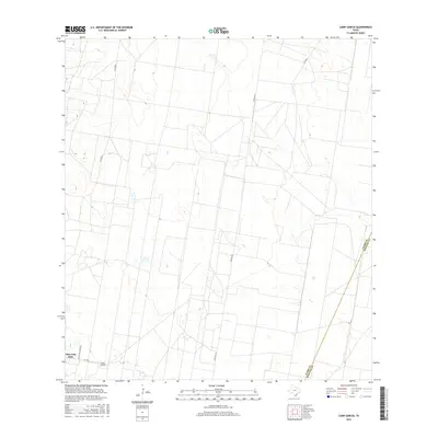
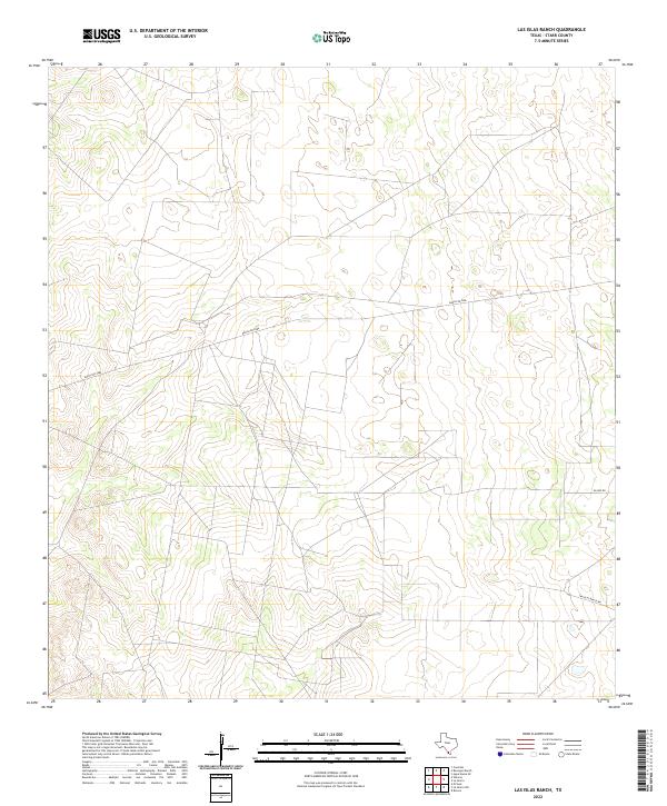
Las Islas Ranch serves as the focal point for this Starr County landscape, where the distribution of water sources dictates the pattern of settlement and activity. Recorded in the early 1970s, the terrain is defined by an extensive network of windmills and wells, reflecting the ranching infrastructure necessary for survival in this arid South Texas environment. Named landmarks like Brazil Windmill, Borrego Windmill, and San Luis Windmill provide a look at local geography shaped by family and place names. A solitary Grave and various bench marks such as BM 502 suggest the quiet human history etched into the land. Transportation is sparse, marked primarily by unimproved roads and a dedicated Landing Strip, while numerous Drill Holes indicate subsurface exploration occurring alongside traditional livestock operations.
Find a feature on this map
24 named features on this map. Tap any name to fly to it.
Don’t see what you’re looking for? This feature index may not catch every label — zoom into the map to look around manually.
Map Details
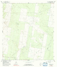
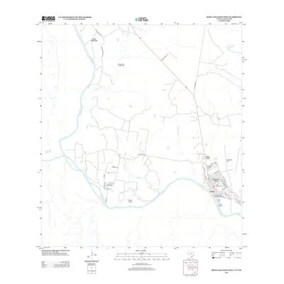
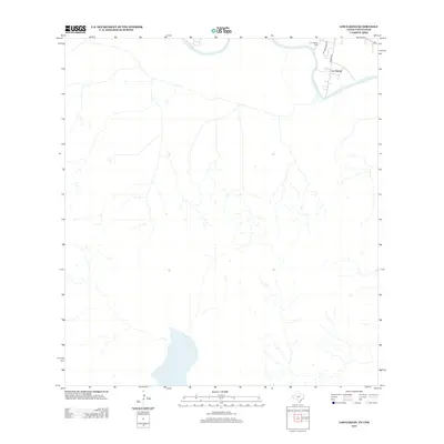
Editions of this 1972 Las Islas Ranch Map
2 editions found
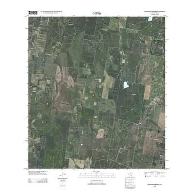
Historical Maps of Starr County Through Time
108 maps found

1938 El Sauz
Starr County, TX

1938 Sal Colorada
Starr County, TX

1956 Garcias
Starr County, TX
1965 Camp Garcia
Starr County, TX
1965 Los Ebanos NW
Starr County, TX
1965 Los Garzas
Starr County, TX
1965 Rio Grande City North
Starr County, TX
1965 Rio Grande City South
Starr County, TX

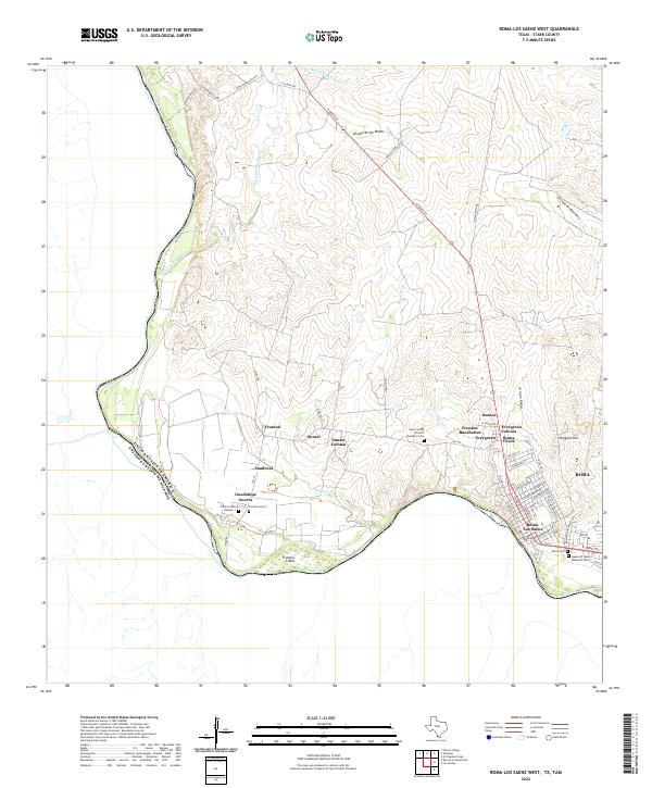
1965 Roma-Los Saenz East
Starr County, TX

1965 Roma-Los Saenz West
Starr County, TX

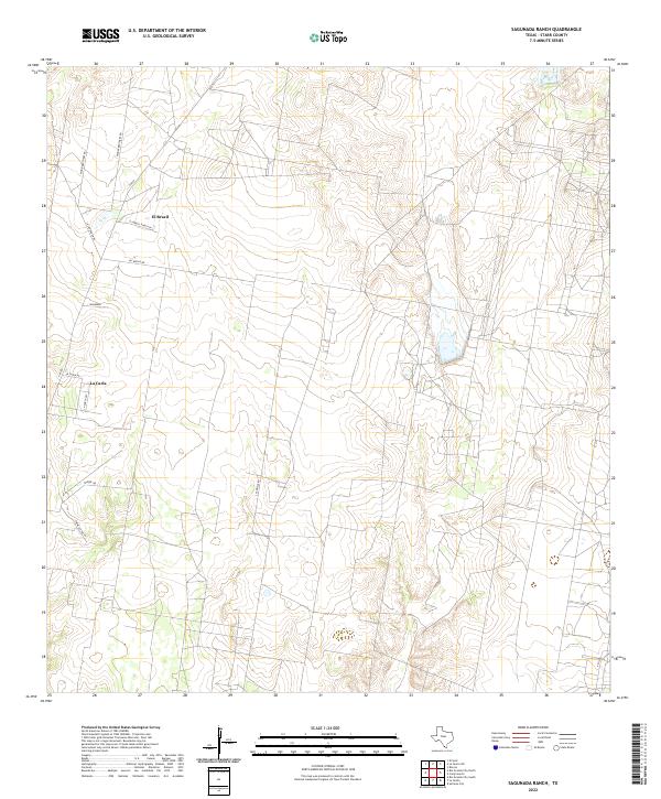
1965 Sagunada Ranch
Starr County, TX
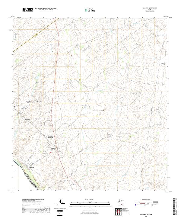
1965 Salineno
Starr County, TX

1972 El Chapote Creek
Starr County, TX

1972 El Sauz
Starr County, TX

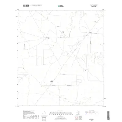
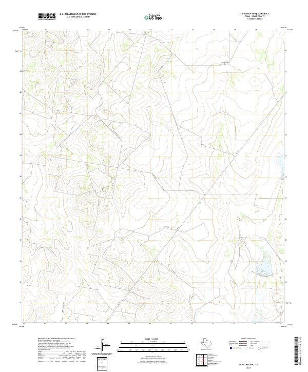
1972 La Gloria
Starr County, TX
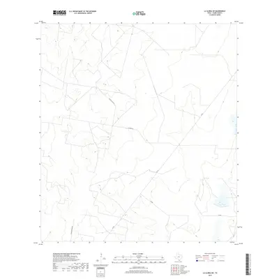
1972 La Gloria SW
Starr County, TX
1972 Las Escobas Ranch
Starr County, TX
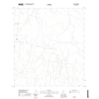
1972 Las Islas Ranch
Starr County, TX
1972 Rincon
Starr County, TX
1972 Viboras
Starr County, TX

1985 Roma-Los Saenz
Starr County, TX

2002 Los Ebanos NW
Starr County, TX

2002 Rio Grande City South
Starr County, TX
2010 Camp Garcia
Starr County, TX
2010 El Chapote Creek
Starr County, TX
2010 El Sauz
Starr County, TX
2010 La Gloria
Starr County, TX
2010 La Gloria SW
Starr County, TX
2010 Las Escobas Ranch
Starr County, TX
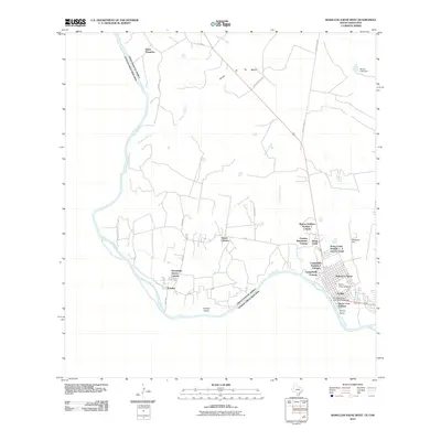
2010 Las Islas Ranch
Starr County, TX
2010 Los Ebanos NW
Starr County, TX
2010 Los Garzas
Starr County, TX
2010 Rincon
Starr County, TX
2010 Rio Grande City North
Starr County, TX
2010 Rio Grande City South
Starr County, TX
2010 Roma-Los Saenz East
Starr County, TX
2010 Roma-Los Saenz West
Starr County, TX
2010 Sagunada Ranch
Starr County, TX
2010 Salineno
Starr County, TX
2010 Viboras
Starr County, TX
2012 Camp Garcia
Starr County, TX
2012 El Chapote Creek
Starr County, TX
2012 El Sauz
Starr County, TX
2012 La Gloria
Starr County, TX
2012 La Gloria SW
Starr County, TX
2012 Las Escobas Ranch
Starr County, TX

2012 Las Islas Ranch
Starr County, TX
2012 Rincon
Starr County, TX
2012 Rio Grande City North
Starr County, TX
2012 Roma-Los Saenz West
Starr County, TX
2012 Sagunada Ranch
Starr County, TX

2012 Salineno
Starr County, TX
2012 Viboras
Starr County, TX
2013 Los Ebanos NW
Starr County, TX
2013 Los Garzas
Starr County, TX
2013 Rio Grande City South
Starr County, TX
2013 Roma-Los Saenz East
Starr County, TX
2016 Camp Garcia
Starr County, TX
2016 El Chapote Creek
Starr County, TX
2016 El Sauz
Starr County, TX
2016 La Gloria
Starr County, TX
2016 La Gloria SW
Starr County, TX
2016 Las Escobas Ranch
Starr County, TX

2016 Las Islas Ranch
Starr County, TX
2016 Los Ebanos NW
Starr County, TX
2016 Los Garzas
Starr County, TX
2016 Rincon
Starr County, TX
2016 Rio Grande City North
Starr County, TX
2016 Rio Grande City South
Starr County, TX
2016 Roma-Los Saenz East
Starr County, TX
2016 Roma-Los Saenz West
Starr County, TX
2016 Sagunada Ranch
Starr County, TX

2016 Salineno
Starr County, TX
2016 Viboras
Starr County, TX
2019 Camp Garcia
Starr County, TX
2019 El Chapote Creek
Starr County, TX
2019 El Sauz
Starr County, TX
2019 La Gloria
Starr County, TX
2019 La Gloria SW
Starr County, TX
2019 Las Escobas Ranch
Starr County, TX
2019 Las Islas Ranch
Starr County, TX
2019 Los Ebanos NW
Starr County, TX
2019 Los Garzas
Starr County, TX
2019 Rincon
Starr County, TX
2019 Rio Grande City North
Starr County, TX
2019 Rio Grande City South
Starr County, TX
2019 Roma-Los Saenz East
Starr County, TX
2019 Roma-Los Saenz West
Starr County, TX
2019 Sagunada Ranch
Starr County, TX
2019 Salineno
Starr County, TX
2019 Viboras
Starr County, TX

2022 Camp Garcia
Starr County, TX
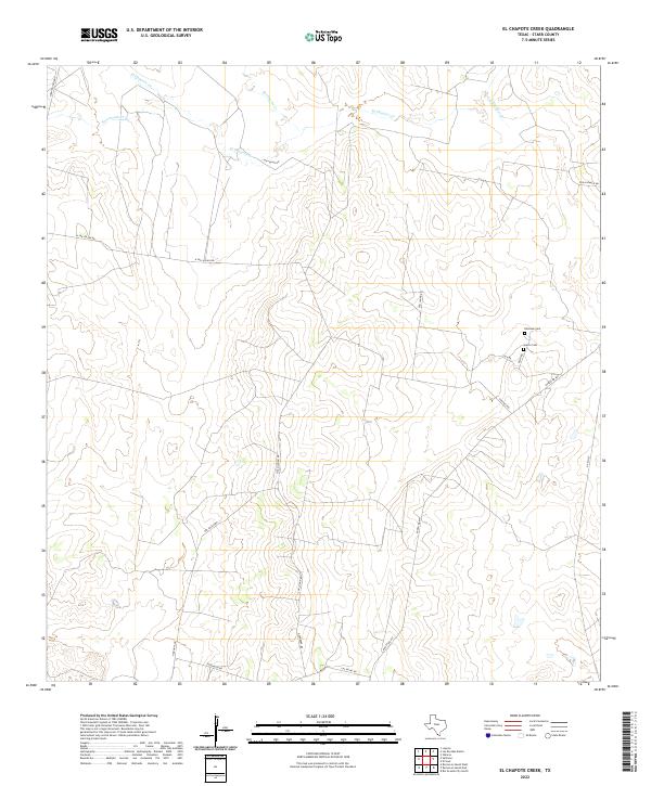
2022 El Chapote Creek
Starr County, TX
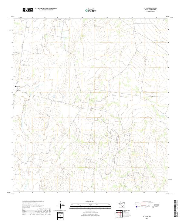
2022 El Sauz
Starr County, TX

2022 La Gloria
Starr County, TX
2022 La Gloria SW
Starr County, TX
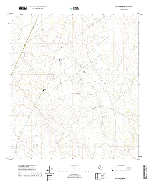
2022 Las Escobas Ranch
Starr County, TX
2022 Las Islas Ranch
Starr County, TX
2022 Los Ebanos NW
Starr County, TX
2022 Los Garzas
Starr County, TX
2022 Rincon
Starr County, TX
2022 Rio Grande City North
Starr County, TX

2022 Rio Grande City South
Starr County, TX

2022 Roma-Los Saenz East
Starr County, TX
2022 Roma-Los Saenz West
Starr County, TX
2022 Sagunada Ranch
Starr County, TX
2022 Salineno
Starr County, TX

2022 Viboras
Starr County, TX