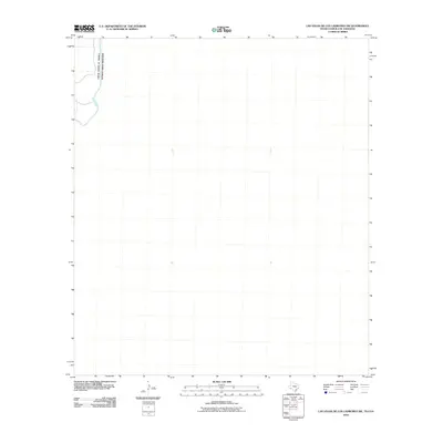
2010 Map of Las Vegas De Los Ladrones SW
USGS Topo · Published 2010About this map
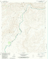
The Rio Grande serves as the dominant geographic and political landmark in this 2010 study of the international border region. Located in the northwestern corner of the quadrangle, the river's winding course defines the boundary between the United States of America and Mexico. While the majority of this territory is characterized by open terrain, the presence of the international line indicates a landscape shaped by trans-border proximity and the natural hydrology of the basin. The map captures the quiet character of the river corridor before more recent developments, focusing purely on the intersection of the natural waterway and the established international boundary.
Find a feature on this map
2 named features on this map. Tap any name to fly to it.
Don’t see what you’re looking for? This feature index may not catch every label — zoom into the map to look around manually.
Map Details
Editions of this 2010 Las Vegas De Los Ladrones SW Map
This is the sole edition of this map. No revisions or reprints were ever made.
Other maps of this area

1918 · Reagan Canyon
USGS Topo · 1:62,500

1919 · Maravillas Canyon
USGS Topo · 1:62,500

1930 · Stillwell Creek
USGS Topo · 1:62,500

1959 · Emory Peak
USGS Topo · 1:250,000

1965 · Emory Peak
USGS Topo · 1:250,000
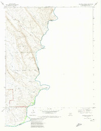
1971 · Stillwell Crossing
USGS Topo · 1:24,000
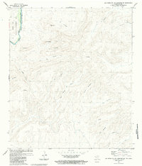
1983 · Las Vegas De Los Ladrones SW
USGS Topo · 1:24,000
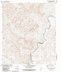
1983 · Bourland Canyon
USGS Topo · 1:24,000
1983 · Las Vegas De Los Ladrones
USGS Topo · 1:24,000
1983 · San Rosendo
USGS Topo · 1:24,000