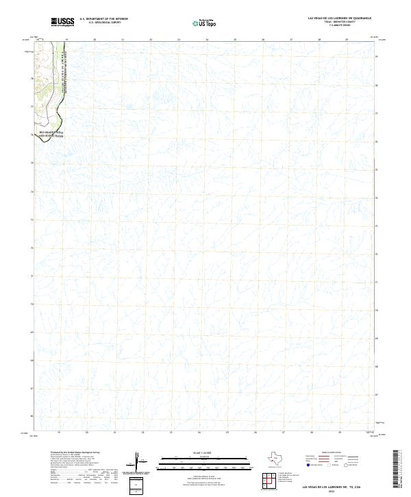
2022 Map of Las Vegas De Los Ladrones SW
USGS Topo · Published 2022About this map
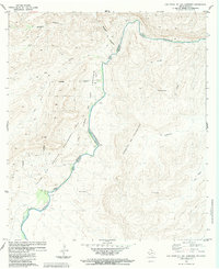
The United States of America Estados Unidos Mexicanos international border defines the western edge of this Brewster County landscape. This remote stretch of West Texas is dominated by the intricate drainage systems and steep contours that feed toward the river valley. The most prominent natural feature is the Rio Grande Wild and Scenic River, which follows a winding course along the international boundary. This specific survey provides a modern look at the topographic relief and hydrologic patterns of the region, illustrating the complex network of arroyos and canyons that characterize this arid borderland environment. With no named settlements or roads present, the map serves as a primary record of the physical geography and the protected river corridor in its contemporary state.
Find a feature on this map
3 named features on this map. Tap any name to fly to it.
Don’t see what you’re looking for? This feature index may not catch every label — zoom into the map to look around manually.
Map Details
Editions of this 2022 Las Vegas De Los Ladrones SW Map
This is the sole edition of this map. No revisions or reprints were ever made.
Other maps of this area

1918 · Reagan Canyon
USGS Topo · 1:62,500

1919 · Maravillas Canyon
USGS Topo · 1:62,500

1930 · Stillwell Creek
USGS Topo · 1:62,500

1959 · Emory Peak
USGS Topo · 1:250,000

1965 · Emory Peak
USGS Topo · 1:250,000
1971 · Stillwell Crossing
USGS Topo · 1:24,000
1983 · Las Vegas De Los Ladrones SW
USGS Topo · 1:24,000
1983 · Bourland Canyon
USGS Topo · 1:24,000
1983 · Las Vegas De Los Ladrones
USGS Topo · 1:24,000
1983 · San Rosendo
USGS Topo · 1:24,000