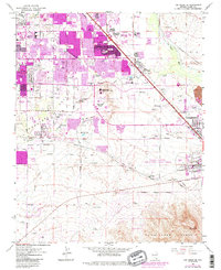
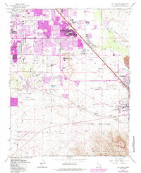
1967 Map of Las Vegas SE
USGS Topo · Published 1984About this map
The Whitney Mesa landform stands as a central topographic feature in this mid-1960s survey of the southeastern Las Vegas Valley, documenting the city's rapid outward expansion. Urban development, noted by significant purple photorevision, pushes from East Las Vegas toward the Clark County Industrial Plant Area and the Henderson corporate boundary. The landscape transitions from suburban neighborhoods and schools like St Viator Sch and Ullom Sch into an industrial and resource-extraction zone characterized by numerous Gravel Pits and Gravel Prospects.
Find a feature on this map
34 named features on this map. Tap any name to fly to it.
Don’t see what you’re looking for? This feature index may not catch every label — zoom into the map to look around manually.
Map Details
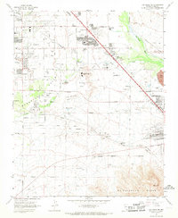
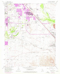
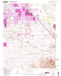
Editions of this 1967 Las Vegas SE Map
5 editions found
Other maps of this area

1886 · Camp Mohave
USGS Topo · 1:250,000

1886 · Saint Thomas
USGS Topo · 1:250,000

1892 · Camp Mohave
USGS Topo · 1:250,000

1893 · Saint Thomas
USGS Topo · 1:250,000

1907 · Las Vegas
USGS Topo · 1:250,000

1908 · Las Vegas
USGS Topo · 1:250,000

1910 · Ivanpah
USGS Topo · 1:250,000

1912 · Ivanpah
USGS Topo · 1:250,000

1926 · Nelson
USGS Topo · 1:96,000

1926 · Boulder Canyon
USGS Topo · 1:96,000