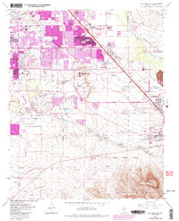
1967 Map of Las Vegas SE
USGS Topo · Published 1984About this map
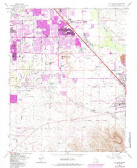
Henderson and East Las Vegas anchor this mid-1960s landscape, which captures a critical period of urban expansion into the desert. Purple-tinted revisions from the early 1980s highlight the rapid sprawl spreading toward Whitney Mesa and across the Duck Creek drainage. The map reveals the industrial and transport foundations of the valley, featuring the Clark County Industrial Plant Area and the extensive grounds of McCarran International Airport.
Find a feature on this map
38 named features on this map. Tap any name to fly to it.
Don’t see what you’re looking for? This feature index may not catch every label — zoom into the map to look around manually.
Map Details
Editions of this 1967 Las Vegas SE Map
5 editions found
Other maps of this area

1886 · Camp Mohave
USGS Topo · 1:250,000

1886 · Saint Thomas
USGS Topo · 1:250,000

1892 · Camp Mohave
USGS Topo · 1:250,000

1893 · Saint Thomas
USGS Topo · 1:250,000

1907 · Las Vegas
USGS Topo · 1:250,000

1908 · Las Vegas
USGS Topo · 1:250,000

1910 · Ivanpah
USGS Topo · 1:250,000

1912 · Ivanpah
USGS Topo · 1:250,000

1926 · Nelson
USGS Topo · 1:96,000

1926 · Boulder Canyon
USGS Topo · 1:96,000