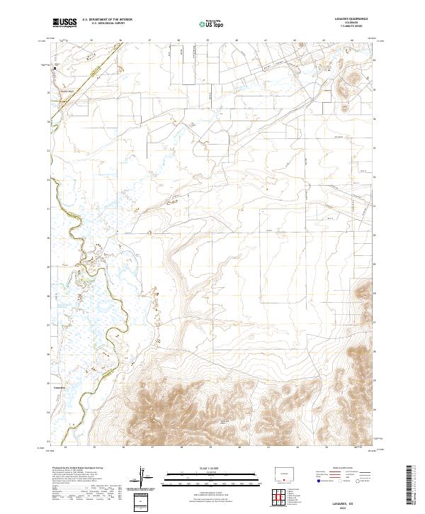
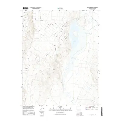
2022 Map of Lasauses
USGS Topo · Published 2022About this map
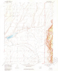
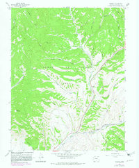
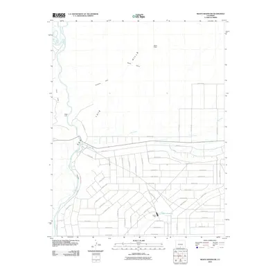
Lasauses sits at a critical hydrologic junction in the San Luis Valley, where the waters of the Conejos River meet the Rio Grande. This landscape is defined by the shifting braids of these river systems and the stark contrast between the low-lying wetlands and the rising elevations of the San Luis Hills to the south. The mapping reveals a complex network of water management, most notably the Conejos River Diversion, which redirects vital water resources across the high desert terrain. To the north, Hansen Bluff overlooks the valley floor, providing a prominent natural landmark near the Becker Cem, a site of significant interest for those tracing local family histories in this part of Costilla County. The area’s geography is further shaped by the Trinchera Cr, which winds through a grid of rural roads named for Colorado cities, including Boulder, Longmont, and Sterling.
Find a feature on this map
36 named features on this map. Tap any name to fly to it.
Don’t see what you’re looking for? This feature index may not catch every label — zoom into the map to look around manually.
Map Details
Editions of this 2022 Lasauses Map
This is the sole edition of this map. No revisions or reprints were ever made.
Historical Maps of Los Sauces Through Time
106 maps found
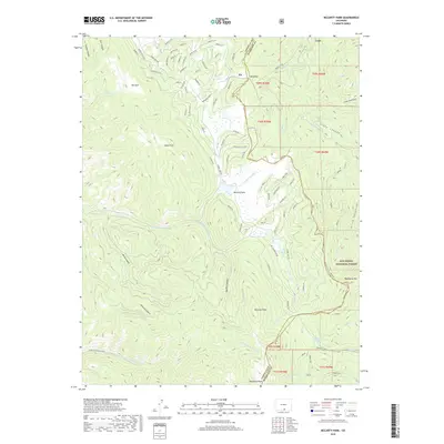
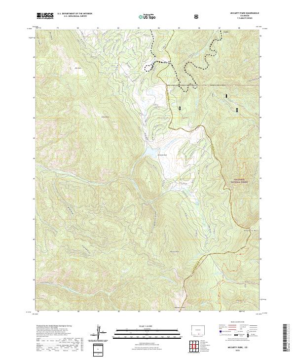
1963 Mc Carty Park
Costilla County, CO
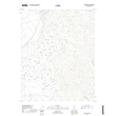
1965 Blanca SE
Costilla County, CO
1965 Lasauses
Costilla County, CO
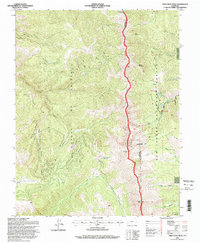
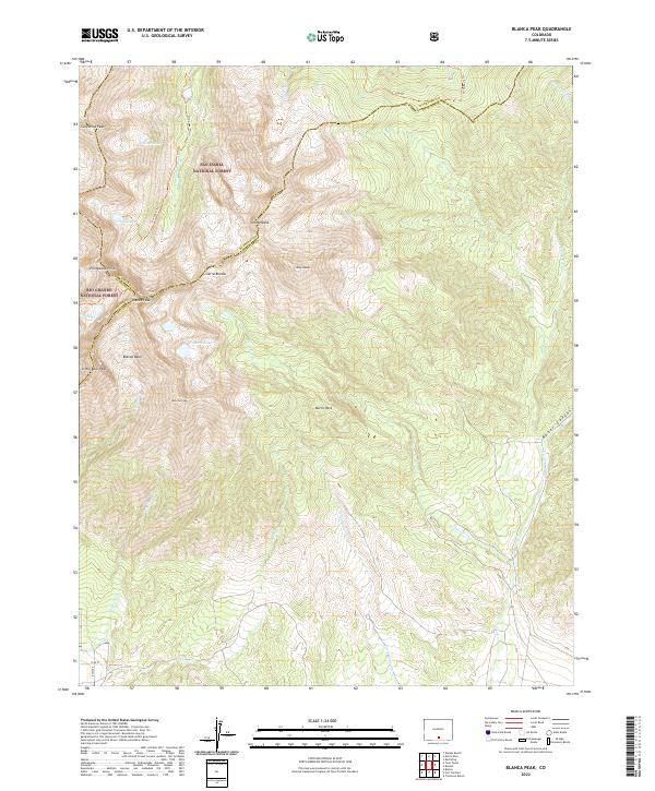
1967 Blanca Peak
Costilla County, CO
1967 Culebra Peak
Costilla County, CO
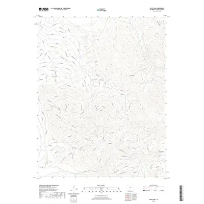
1967 El Valle Creek
Costilla County, CO
1967 Fort Garland SW
Costilla County, CO
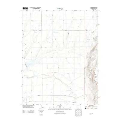
1967 Garcia
Costilla County, CO
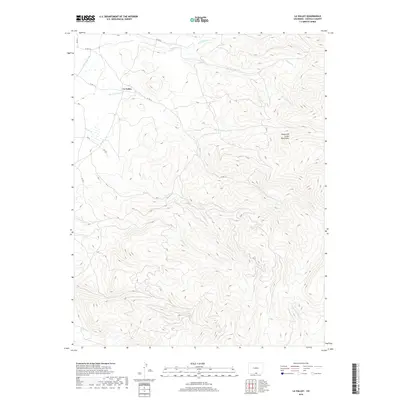
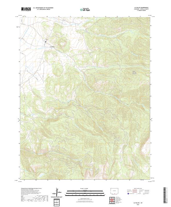
1967 La Valley
Costilla County, CO
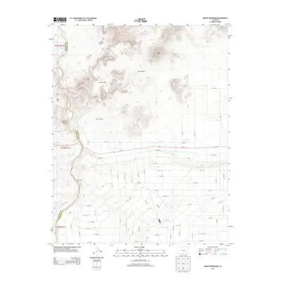
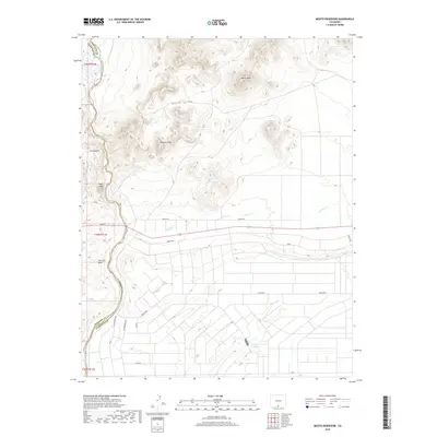
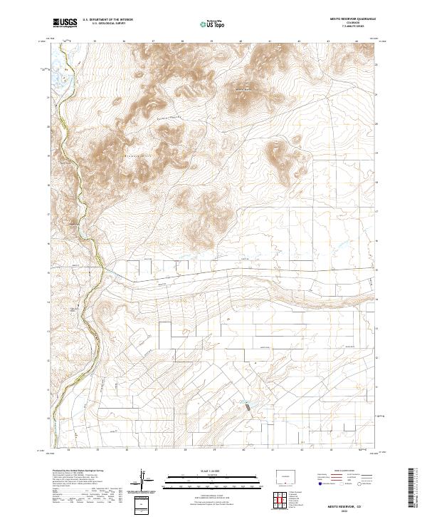
1967 Mesito Reservoir
Costilla County, CO
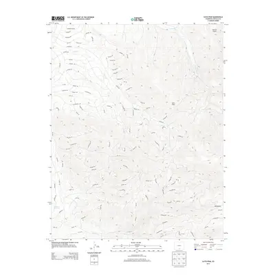
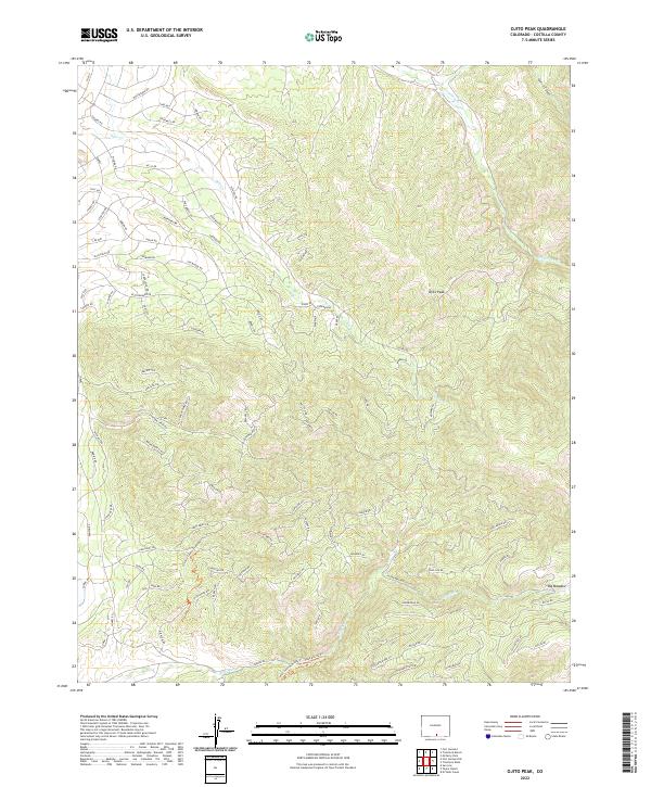
1967 Ojito Peak
Costilla County, CO
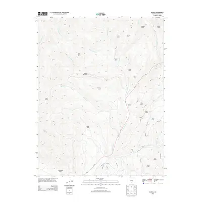
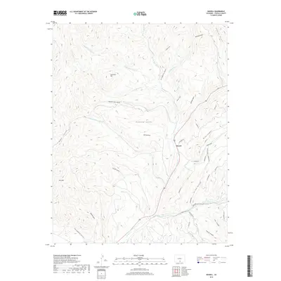
1967 Russell
Costilla County, CO
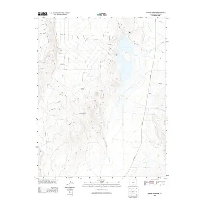
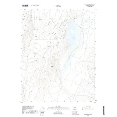
1967 Sanchez Reservoir
Costilla County, CO
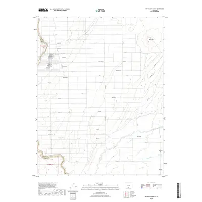
1967 Sky Valley Ranch
Costilla County, CO
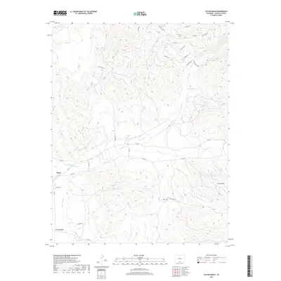
1967 Taylor Ranch
Costilla County, CO
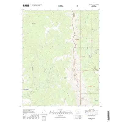
1967 Trinchera Peak
Costilla County, CO
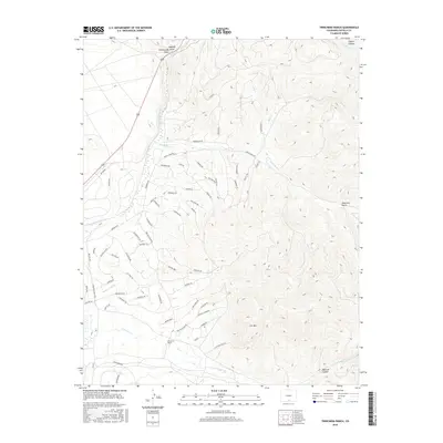
1967 Trinchera Ranch
Costilla County, CO
1994 El Valle Creek
Costilla County, CO
1994 Mc Carty Park
Costilla County, CO
1994 Trinchera Peak
Costilla County, CO
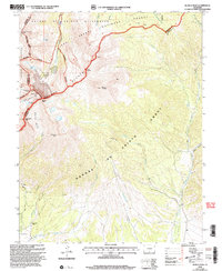
2001 Blanca Peak
Costilla County, CO
2010 Blanca SE
Costilla County, CO
2010 Culebra Peak
Costilla County, CO
2010 Fort Garland SW
Costilla County, CO
2010 Garcia
Costilla County, CO
2010 Lasauses
Costilla County, CO
2010 La Valley
Costilla County, CO
2010 Mesito Reservoir
Costilla County, CO
2010 Ojito Peak
Costilla County, CO
2010 Russell
Costilla County, CO
2010 Sanchez Reservoir
Costilla County, CO
2010 Sky Valley Ranch
Costilla County, CO
2010 Taylor Ranch
Costilla County, CO
2010 Trinchera Ranch
Costilla County, CO
2011 Blanca Peak
Costilla County, CO
2011 El Valle Creek
Costilla County, CO
2011 McCarty Park
Costilla County, CO
2011 Trinchera Peak
Costilla County, CO
2013 Blanca Peak
Costilla County, CO
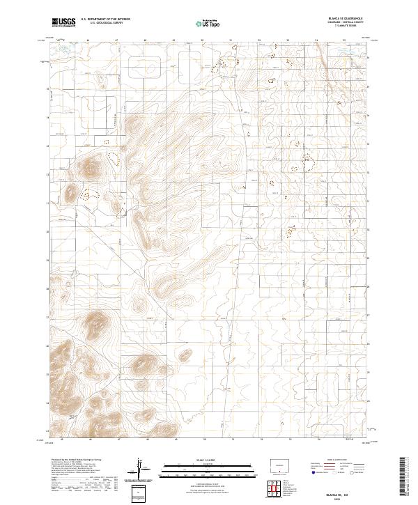
2013 Blanca SE
Costilla County, CO
2013 Culebra Peak
Costilla County, CO
2013 El Valle Creek
Costilla County, CO
2013 Fort Garland SW
Costilla County, CO
2013 Garcia
Costilla County, CO
2013 Lasauses
Costilla County, CO
2013 La Valley
Costilla County, CO
2013 McCarty Park
Costilla County, CO
2013 Mesito Reservoir
Costilla County, CO
2013 Ojito Peak
Costilla County, CO
2013 Russell
Costilla County, CO
2013 Sanchez Reservoir
Costilla County, CO
2013 Sky Valley Ranch
Costilla County, CO
2013 Taylor Ranch
Costilla County, CO
2013 Trinchera Peak
Costilla County, CO
2013 Trinchera Ranch
Costilla County, CO
2016 Blanca Peak
Costilla County, CO
2016 Blanca SE
Costilla County, CO
2016 Culebra Peak
Costilla County, CO
2016 El Valle Creek
Costilla County, CO
2016 Fort Garland SW
Costilla County, CO
2016 Garcia
Costilla County, CO
2016 Lasauses
Costilla County, CO
2016 La Valley
Costilla County, CO
2016 McCarty Park
Costilla County, CO
2016 Mesito Reservoir
Costilla County, CO
2016 Ojito Peak
Costilla County, CO
2016 Russell
Costilla County, CO
2016 Sanchez Reservoir
Costilla County, CO
2016 Sky Valley Ranch
Costilla County, CO
2016 Taylor Ranch
Costilla County, CO
2016 Trinchera Peak
Costilla County, CO
2016 Trinchera Ranch
Costilla County, CO
2019 Blanca Peak
Costilla County, CO
2019 Blanca SE
Costilla County, CO
2019 Culebra Peak
Costilla County, CO
2019 El Valle Creek
Costilla County, CO
2019 Fort Garland SW
Costilla County, CO
2019 Garcia
Costilla County, CO
2019 Lasauses
Costilla County, CO
2019 La Valley
Costilla County, CO
2019 McCarty Park
Costilla County, CO
2019 Mesito Reservoir
Costilla County, CO
2019 Ojito Peak
Costilla County, CO
2019 Russell
Costilla County, CO
2019 Sanchez Reservoir
Costilla County, CO
2019 Sky Valley Ranch
Costilla County, CO
2019 Taylor Ranch
Costilla County, CO
2019 Trinchera Peak
Costilla County, CO
2019 Trinchera Ranch
Costilla County, CO
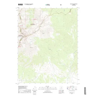
2022 Blanca Peak
Costilla County, CO
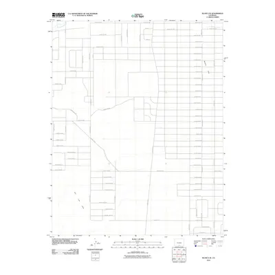
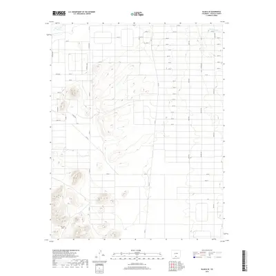
2022 Blanca SE
Costilla County, CO
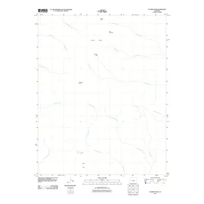
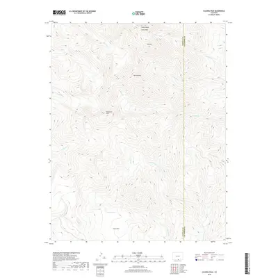
2022 Culebra Peak
Costilla County, CO
2022 El Valle Creek
Costilla County, CO
2022 Fort Garland SW
Costilla County, CO
2022 Garcia
Costilla County, CO
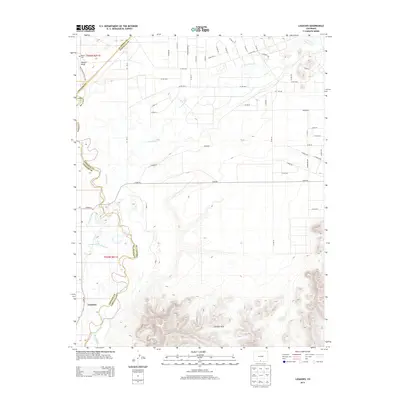
2022 Lasauses
Costilla County, CO
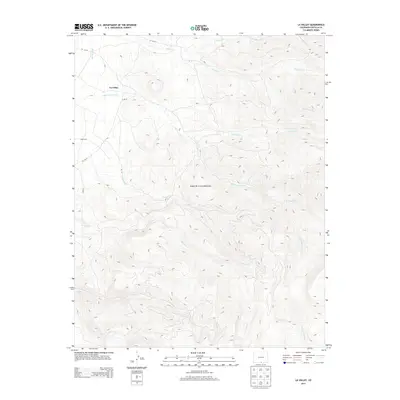
2022 La Valley
Costilla County, CO
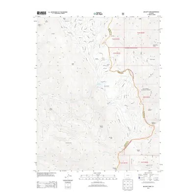
2022 McCarty Park
Costilla County, CO
2022 Mesito Reservoir
Costilla County, CO
2022 Ojito Peak
Costilla County, CO
2022 Russell
Costilla County, CO
2022 Sanchez Reservoir
Costilla County, CO
2022 Sky Valley Ranch
Costilla County, CO
2022 Taylor Ranch
Costilla County, CO
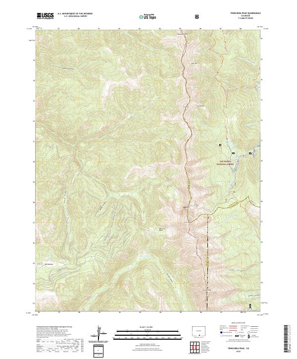
2022 Trinchera Peak
Costilla County, CO
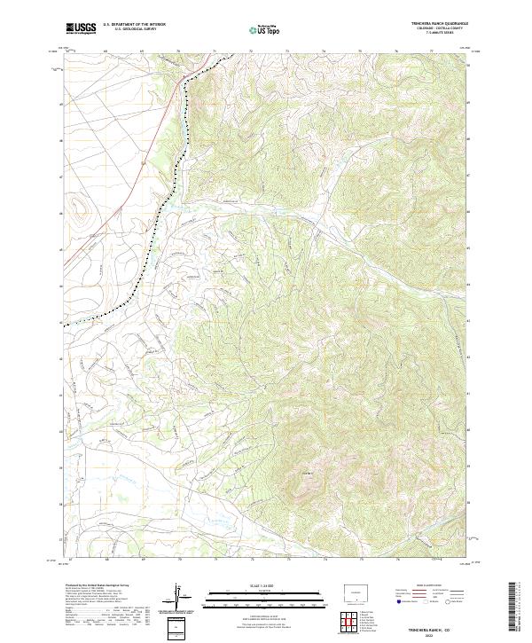
2022 Trinchera Ranch
Costilla County, CO