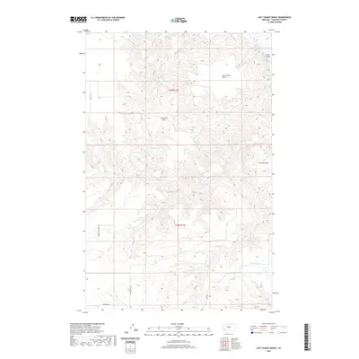
2020 Map of Last Chance Bench
USGS Topo · Published 2020About this map
Last Chance Bench and Canavan Bench dominate this high-plains landscape in Chouteau County, where the topography is defined by the sharp relief of the breaks and coulees draining toward the river valley. The map reveals a sparse but deliberate network of country roads, including Duvall Rd and Happy Hollow Rd, which navigate the elevation changes between the level benches and the lower drainages. A notable crossing point occurs at Flat Creek Pass, providing a transition through the broken terrain near the headwaters of Flat Cr. To the northeast, the land drops away toward the water, where Wolf Island sits as a prominent landmark. This 2020 survey illustrates how the land has been partitioned and accessed, with features like Liberty Spring and various named routes such as Hopkins Hill Rd and Hawarden Rd serving as critical reference points for local land management and navigation.
Find a feature on this map
13 named features on this map. Tap any name to fly to it.
Don’t see what you’re looking for? This feature index may not catch every label — zoom into the map to look around manually.
Map Details
Editions of this 2020 Last Chance Bench Map
This is the sole edition of this map. No revisions or reprints were ever made.
Other maps of this area

1890 · Fort Benton
USGS Topo · 1:250,000

1892 · Fort Benton
USGS Topo · 1:250,000

1897 · Fort Benton
USGS Topo · 1:250,000

1953 · Starve Out Flat
USGS Topo · 1:24,000

1953 · Eagle Buttes
USGS Topo · 1:24,000

1953 · Last Chance Bench
USGS Topo · 1:24,000

1954 · Great Falls
USGS Topo · 1:250,000

1954 · Iliad
USGS Topo · 1:24,000

1954 · Dark Butte
USGS Topo · 1:24,000

1954 · Lewistown
USGS Topo · 1:250,000