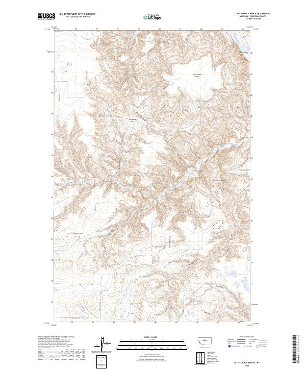
2024 Map of Last Chance Bench
USGS Topo · Published 2024About this map
The Missouri Wild and Scenic River carves through the northeastern corner of this landscape, its path defined by the protected acreage of the Upper Missouri River Breaks National Monument. This area of Chouteau County is characterized by high plateaus like Last Chance Bench and Canavan Bench, separated by a complex network of erosional features. The terrain is deeply incised by numerous coulees, including Antelope Coulee, Tom Dale Coulee, and Sheep Shed Coulee, which channel seasonal runoff toward the larger Flat Creek drainage.
Find a feature on this map
24 named features on this map. Tap any name to fly to it.
Don’t see what you’re looking for? This feature index may not catch every label — zoom into the map to look around manually.
Map Details
Editions of this 2024 Last Chance Bench Map
This is the sole edition of this map. No revisions or reprints were ever made.
Other maps of this area

1890 · Fort Benton
USGS Topo · 1:250,000

1892 · Fort Benton
USGS Topo · 1:250,000

1897 · Fort Benton
USGS Topo · 1:250,000

1953 · Starve Out Flat
USGS Topo · 1:24,000

1953 · Eagle Buttes
USGS Topo · 1:24,000

1953 · Last Chance Bench
USGS Topo · 1:24,000

1954 · Great Falls
USGS Topo · 1:250,000

1954 · Iliad
USGS Topo · 1:24,000

1954 · Dark Butte
USGS Topo · 1:24,000

1954 · Lewistown
USGS Topo · 1:250,000