
1958 Map of Last Chance Range
USGS Topo · Published 1959About this map
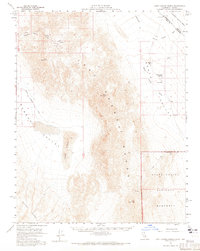
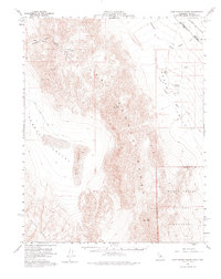
Last Chance Range dominates this late-1950s survey of the high desert border between California and Nevada. The landscape is defined by stark transitions between elevated ridges and broad basins like Eureka Valley and the northern reaches of Death Valley National Monument. Geologic activity and resource extraction are evident in features such as the Crater and scattered mining activity, including a Lead mine and various Prospects located in the mountains.
Find a feature on this map
18 named features on this map. Tap any name to fly to it.
Don’t see what you’re looking for? This feature index may not catch every label — zoom into the map to look around manually.
Map Details
Editions of this 1958 Last Chance Range Map
3 editions found
Other maps of this area

1908 · Lida
USGS Topo · 1:250,000

1908 · Ballarat
USGS Topo · 1:250,000

1913 · Lida
USGS Topo · 1:250,000

1913 · Ballarat
USGS Topo · 1:250,000

1948 · Death Valley
USGS Topo · 1:250,000

1951 · Waucoba Wash
USGS Topo · 1:62,500

1954 · Death Valley
USGS Topo · 1:250,000

1954 · Goldfield
USGS Topo · 1:250,000

1955 · Goldfield
USGS Topo · 1:250,000

1956 · Death Valley
USGS Topo · 1:250,000