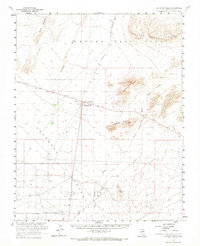
1961 Map of Lathrop Wells
USGS Topo · Published 1968About this map
Amargosa Desert water sources and early desert transit dominate this 1960s survey of southern Nye County. The small settlement at Lathrop Wells serves as a central hub, situated near a local airstrip and several extraction sites including a Clay Pit and various gravel operations. The arid landscape is defined by its drainages, such as Fortymile Wash and Topopah Wash, which cut between prominent ranges like the Skeleton Hills and Yucca Mountain.
Find a feature on this map
19 named features on this map. Tap any name to fly to it.
Don’t see what you’re looking for? This feature index may not catch every label — zoom into the map to look around manually.
Map Details
Editions of this 1961 Lathrop Wells Map
2 editions found
Other maps of this area

1908 · Furnace Creek
USGS Topo · 1:250,000

1910 · Furnace Creek
USGS Topo · 1:250,000

1942 · Skull Mountain
USGS Topo · 1:125,000

1942 · Bullfrog
USGS Topo · 1:125,000

1948 · Death Valley
USGS Topo · 1:250,000

1952 · Topopah Spring
USGS Topo · 1:62,500

1952 · Ash Meadows
USGS Topo · 1:62,500

1952 · Ryan
USGS Topo · 1:62,500

1952 · Big Dune
USGS Topo · 1:62,500

1952 · Specter Range
USGS Topo · 1:62,500