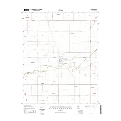
2015 Map of Laton
USGS Topo · Published 2015About this map
The Kings River winds through the heart of the San Joaquin Valley on this survey, serving as the central artery for a complex network of agricultural irrigation. The landscape is defined by its water management, featuring intricate waterways such as Murphy Slough, Cole Slough, and the Dutch John Cut. These natural and man-made channels support the surrounding farmland, which is partitioned by a rigid grid of local roads and section lines.
Find a feature on this map
44 named features on this map. Tap any name to fly to it.
Don’t see what you’re looking for? This feature index may not catch every label — zoom into the map to look around manually.
Map Details
Editions of this 2015 Laton Map
This is the sole edition of this map. No revisions or reprints were ever made.
Other maps of this area
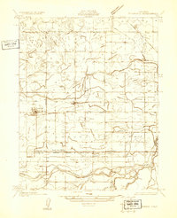
1924 · Riverdale
USGS Topo · 1:31,680
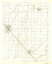
1924 · Selma
USGS Topo · 1:31,680
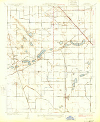
1924 · Conejo
USGS Topo · 1:31,680
1925 · Caruthers
USGS Topo · 1:31,680
1926 · Hanford
USGS Topo · 1:31,680
1926 · Burris Park
USGS Topo · 1:31,680
1927 · Laton
USGS Topo · 1:31,680
1927 · Remnoy
USGS Topo · 1:31,680
1927 · Riverdale
USGS Topo · 1:31,680
1927 · Lemoore
USGS Topo · 1:31,680