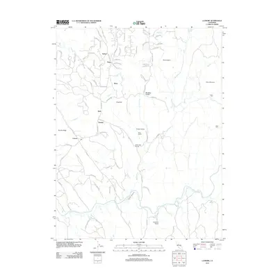
2012 Map of Latrobe
USGS Topo · Published 2012About this map
The Cosumnes River winds through the southern reaches of this landscape, anchoring a region defined by scattered settlements and high-elevation landmarks. The community of Latrobe sits near the western edge, joined by smaller locales like Flonellis, Brela, and Dugan. Topographical features such as Sugarloaf, China Mountain, and Mount Aigaire provide significant elevation, while the presence of the Chinese Cem near Fanny Cr offers a specific point of interest for genealogists and local historians researching the diverse cultural history of this part of El Dorado County.
Find a feature on this map
72 named features on this map. Tap any name to fly to it.
Don’t see what you’re looking for? This feature index may not catch every label — zoom into the map to look around manually.
Map Details
Editions of this 2012 Latrobe Map
This is the sole edition of this map. No revisions or reprints were ever made.
Other maps of this area

1889 · Jackson
USGS Topo · 1:125,000

1891 · Sacramento
USGS Topo · 1:125,000

1891 · Placerville
USGS Topo · 1:125,000

1892 · Jackson
USGS Topo · 1:125,000

1892 · Sacramento
USGS Topo · 1:125,000

1892 · Placerville
USGS Topo · 1:125,000

1893 · Placerville
USGS Topo · 1:125,000

1893 · Sacramento
USGS Topo · 1:125,000

1894 · Lodi
USGS Topo · 1:125,000

1897 · Jackson
USGS Topo · 1:125,000