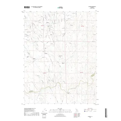
2018 Map of Latrobe
USGS Topo · Published 2018About this map
Latrobe and the surrounding foothill country of the Sierra Nevada foothills are documented here, showing a landscape defined by small settlements and complex water management. The presence of the Michigan Bar Ditch running through the southern reaches illustrates the area's history of hydraulic engineering, likely tied to earlier mining operations along the Cosumnes River. These man-made watercourses contrast with the natural drainages of Big Canyon Cr and French Cr.
Find a feature on this map
96 named features on this map. Tap any name to fly to it.
Don’t see what you’re looking for? This feature index may not catch every label — zoom into the map to look around manually.
Map Details
Editions of this 2018 Latrobe Map
This is the sole edition of this map. No revisions or reprints were ever made.
Other maps of this area

1889 · Jackson
USGS Topo · 1:125,000

1891 · Sacramento
USGS Topo · 1:125,000

1891 · Placerville
USGS Topo · 1:125,000

1892 · Jackson
USGS Topo · 1:125,000

1892 · Sacramento
USGS Topo · 1:125,000

1892 · Placerville
USGS Topo · 1:125,000

1893 · Placerville
USGS Topo · 1:125,000

1893 · Sacramento
USGS Topo · 1:125,000

1894 · Lodi
USGS Topo · 1:125,000

1897 · Jackson
USGS Topo · 1:125,000