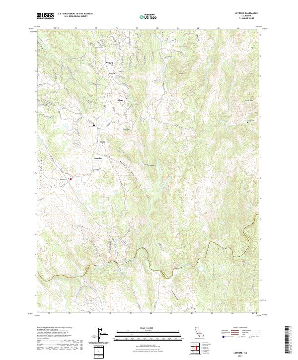
2021 Map of Latrobe
USGS Topo · Published 2021About this map
Latrobe anchors the western edge of this terrain where the foothills of the Sierra Nevada meet the rolling plains of the Central Valley. This 2021 survey shows a landscape defined by significant water management and varied topography, from the Cosumnes River forming the southern boundary to the heights of China Mtn and Sugarloaf. The area is marked by numerous small settlements and family-named landmarks including Bullard, Dugan, and Shrub, reflecting the generational ranching and mining history of the region. Local history is etched into the land at the Bryant Cem and the Chinese Cem, providing tangible links to the diverse populations that once worked these hills. Water features like the Michigan Bar Ditch and Slate Cr illustrate the complex hydrography essential to this environment, while named ravines such as White Man Ravine and Slug Gulch hint at the rugged character of the local geography.
Find a feature on this map
95 named features on this map. Tap any name to fly to it.
Don’t see what you’re looking for? This feature index may not catch every label — zoom into the map to look around manually.
Map Details
Editions of this 2021 Latrobe Map
This is the sole edition of this map. No revisions or reprints were ever made.
Other maps of this area

1889 · Jackson
USGS Topo · 1:125,000

1891 · Sacramento
USGS Topo · 1:125,000

1891 · Placerville
USGS Topo · 1:125,000

1892 · Jackson
USGS Topo · 1:125,000

1892 · Sacramento
USGS Topo · 1:125,000

1892 · Placerville
USGS Topo · 1:125,000

1893 · Placerville
USGS Topo · 1:125,000

1893 · Sacramento
USGS Topo · 1:125,000

1894 · Lodi
USGS Topo · 1:125,000

1897 · Jackson
USGS Topo · 1:125,000