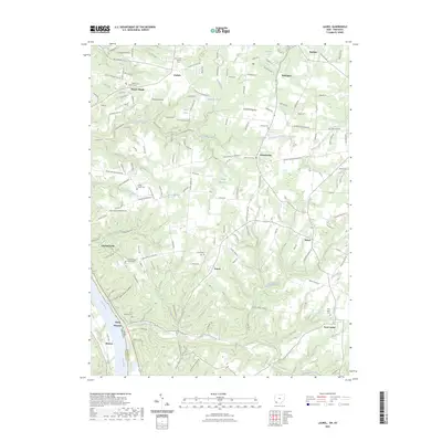
2023 Map of Laurel
USGS Topo · Published 2023About this map
Point Pleasant sits perched above the Ohio River at the southwestern edge of this landscape, marking a historic gateway into the rolling uplands of Clermont County. The terrain is deeply incised by a network of drainage systems, including Twelvemile Creek and Big Indian Creek, which have shaped the settlement patterns of agricultural hamlets like Laurel and Nicholsville. This survey highlights a dense distribution of local heritage sites, from small family and church burial grounds such as Sugartree Cem and Pisgah Cem to the isolated Mount Zion Chapel Cem.
Find a feature on this map
159 named features on this map. Tap any name to fly to it.
Don’t see what you’re looking for? This feature index may not catch every label — zoom into the map to look around manually.
Map Details
Editions of this 2023 Laurel Map
This is the sole edition of this map. No revisions or reprints were ever made.
Other maps of this area

1898 · East Cincinnati
USGS Topo · 1:62,500

1914 · East Cincinnati
USGS Topo · 1:62,500

1914 · Batavia
USGS Topo · 1:48,000

1916 · Batavia
USGS Topo · 1:62,500

1929 · Alexandria
USGS Topo · 1:48,000

1931 · Felicity
USGS Topo · 1:62,500

1936 · Alexandria
USGS Topo · 1:62,500

1953 · Laurel
USGS Topo · 1:24,000

1953 · Withamsville
USGS Topo · 1:24,000

1953 · Bethel
USGS Topo · 1:24,000