Loading...
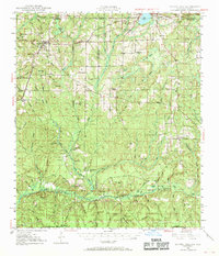
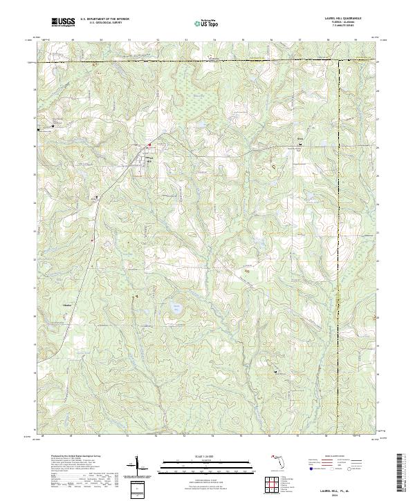
Loading map...1949 Map of Laurel Hill
USGS Topo · Published 1969About this map
The Shoal River forms a southern corridor through this 1940s landscape, an area defined by the borderlands of Florida and Alabama. The rural character of Okaloosa and Walton counties is marked by small settlements and family-oriented landmarks such as the Childrens Home and several community hubs like Laurel Hill and Florala. Local genealogy is well-represented through numerous rural houses of worship and burial grounds, including Old Dorcas Cem, Mt Zion Ch, and the Almerant Ch.
Find a feature on this map
55 named features on this map. Tap any name to fly to it.
Don’t see what you’re looking for? This feature index may not catch every label — zoom into the map to look around manually.
Map Details
Date Portrayed1949
Date Published1969
PublisherU.S. Geological Survey
Map TypeTopographic
Scale1:62,500
Physical Dimensions17.9 x 20.8 inches
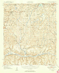
Editions of this 1949 Laurel Hill Map
2 editions found
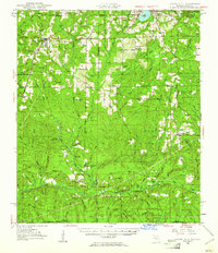
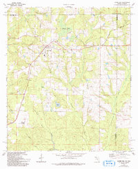
Historical Maps of Florala Through Time
8 maps found

Featured Locations
Source Details
SourceU.S. Geological Survey
CopyrightPublic Domain