Loading...
Loading map...2022 Map of Laurel
USGS Topo · Published 2022About this map
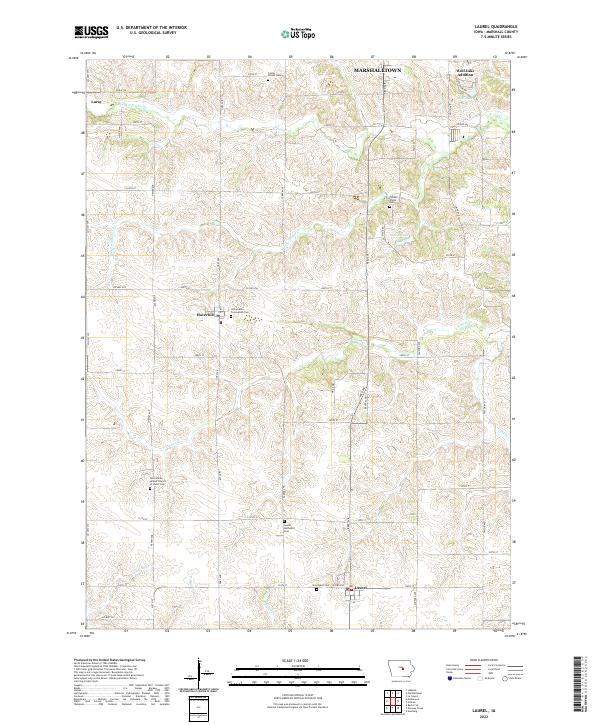
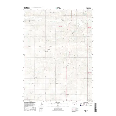
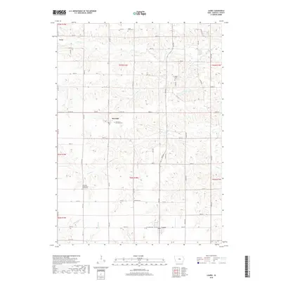
The agricultural landscape of southern Marshall County is defined by its network of creeks and small farming settlements. Laurel serves as a southern anchor, while Haverhill and Luray are situated amidst the section-line grid of rural roads. The area is heavily marked by its religious and educational history, as evidenced by several localized burial grounds and church sites, including Saint Johns United Church of Christ Cem and Immaculate Conception Cem.
Find a feature on this map
57 named features on this map. Tap any name to fly to it.
Don’t see what you’re looking for? This feature index may not catch every label — zoom into the map to look around manually.
Map Details
Date Portrayed2022
Date Published2022
PublisherU.S. Geological Survey
Map TypeTopographic
Scale1:24,000
Physical Dimensions24 x 29 inches
Editions of this 2022 Laurel Map
This is the sole edition of this map. No revisions or reprints were ever made.
Historical Maps of Marshalltown Through Time
6 maps found
Featured Locations
- Greencastle Township, IA
- Jefferson Township, IA
- Marshalltown, IA
- Haverhill, Jefferson Township
- Laurel, Jefferson Township
Source Details
SourceU.S. Geological Survey
CopyrightPublic Domain