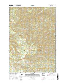
2017 Map of Laurel Mountain
USGS Topo · Published 2017About this map
Laurel Mountain and its surrounding peaks dominate this part of Polk County, where the high elevations of the Oregon Coast Range dictate the flow of numerous drainages. Significant summits like Riley Peak and Condenser Peak define the topographical character, while the presence of Silver Falls along Bridge Forty Cr highlights the area's natural hydrology. The map details a complex network of forest access routes, including Rickreall Rd and Black Rock Rd, which follow the winding paths of their namesake creeks.
Find a feature on this map
44 named features on this map. Tap any name to fly to it.
Don’t see what you’re looking for? This feature index may not catch every label — zoom into the map to look around manually.
Map Details
Editions of this 2017 Laurel Mountain Map
This is the sole edition of this map. No revisions or reprints were ever made.
Other maps of this area

1942 · Sheridan
USGS Topo · 1:62,500

1942 · Spirit Mtn
USGS Topo · 1:62,500

1942 · Valsetz
USGS Topo · 1:62,500

1942 · Dallas
USGS Topo · 1:62,500

1948 · Vancouver
USGS Topo · 1:250,000

1950 · Vancouver
USGS Topo · 1:250,000

1950 · Vancouver
USGS Topo · 1:250,000

1953 · Salem
USGS Topo · 1:250,000

1954 · Salem
USGS Topo · 1:250,000

1955 · Grand Ronde
USGS Topo · 1:62,500