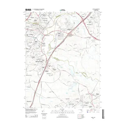
2014 Map of Laurel
USGS Topo · Published 2014About this map
Laurel and the Patuxent River serve as the focal points for this 2014 survey, which illustrates the intensive suburban development across the borders of Prince George's, Anne Arundel, and Howard counties. The map captures a densely populated corridor along the Baltimore-Washington Parkway, where residential developments like Montpelier Forest, Snow Hill Manor, and Settlers Landing have transformed the landscape. Amidst this modern expansion, significant historical and military footprints remain visible, including the sprawling grounds of Fort Meade and Tipton Airport in the east. Numerous small family and church burial grounds such as Snowden Cem and Saint Mary of the Mill Cem are preserved within the residential grid, offering valuable markers for local genealogists and historians tracking the region's older rural roots before its mid-century transformation.
Find a feature on this map
101 named features on this map. Tap any name to fly to it.
Don’t see what you’re looking for? This feature index may not catch every label — zoom into the map to look around manually.
Map Details
Editions of this 2014 Laurel Map
This is the sole edition of this map. No revisions or reprints were ever made.
Other maps of this area

1892 · Laurel
USGS Topo · 1:62,500

1892 · Owensville
USGS Topo · 1:62,500

1894 · Laurel
USGS Topo · 1:62,500

1894 · Relay
USGS Topo · 1:62,500

1895 · Owensville
USGS Topo · 1:62,500

1897 · Laurel
USGS Topo · 1:62,500

1899 · Patuxent
USGS Topo · 1:125,000

1900 · Washington
USGS Topo · 1:62,500

1905 · Owensville
USGS Topo · 1:62,500

1906 · Patuxent
USGS Topo · 1:125,000