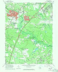
1965 Map of Laurel
USGS Topo · Published 1971About this map
Laurel serves as the focal point of this mid-1960s study, situated at the busy intersection of the B & O RR and the Baltimore-Washington Parkway. This period reveals a landscape transitioning from rural Maryland tobacco fields and family manors like Snow Hill Manor into a hub of federal activity. Massive government installations dominate the central and southern portions of the sheet, including the sprawling Fort George G Meade Military Reservation and the National Security Agency. Scientific and ecological research is well-established here, with the Patuxent Wildlife Research Center maintaining extensive tracts of marshes and ponds, while the Goddard Space Flight Center (NASA) and various Department of Agriculture Research Centers illustrate the region's mid-century expansion of technical infrastructure. Smaller settlements like Duckettsville and High Ridge appear alongside historical markers such as Ivy Hill Cem and St Marys Sch.
Find a feature on this map
104 named features on this map. Tap any name to fly to it.
Don’t see what you’re looking for? This feature index may not catch every label — zoom into the map to look around manually.
Map Details
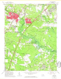
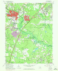
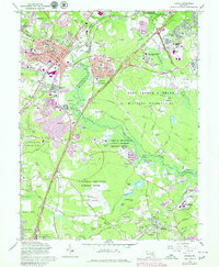
Editions of this 1965 Laurel Map
4 editions found
Other maps of this area

1892 · Laurel
USGS Topo · 1:62,500

1892 · Owensville
USGS Topo · 1:62,500

1894 · Laurel
USGS Topo · 1:62,500

1894 · Relay
USGS Topo · 1:62,500

1895 · Owensville
USGS Topo · 1:62,500

1897 · Laurel
USGS Topo · 1:62,500

1899 · Patuxent
USGS Topo · 1:125,000

1900 · Washington
USGS Topo · 1:62,500

1905 · Owensville
USGS Topo · 1:62,500

1906 · Patuxent
USGS Topo · 1:125,000