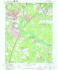
1965 Map of Laurel
USGS Topo · Published 1979About this map
Laurel stands at the heart of this mid-century landscape, a period of transition where traditional community landmarks like Ivy Hill Cem and St Marys Ch meet the massive federal footprint of the Cold War era. The map reveals the expansive specialized grounds of the National Security Agency and the Fort George G Meade Military Reservation, alongside research facilities like the U.S. National Agriculture Research Center and N.A.S.A. installations including the Goddard Space Flight Center (N A S A).
Find a feature on this map
96 named features on this map. Tap any name to fly to it.
Don’t see what you’re looking for? This feature index may not catch every label — zoom into the map to look around manually.
Map Details
Editions of this 1965 Laurel Map
4 editions found
Other maps of this area

1892 · Laurel
USGS Topo · 1:62,500

1892 · Owensville
USGS Topo · 1:62,500

1894 · Laurel
USGS Topo · 1:62,500

1894 · Relay
USGS Topo · 1:62,500

1895 · Owensville
USGS Topo · 1:62,500

1897 · Laurel
USGS Topo · 1:62,500

1899 · Patuxent
USGS Topo · 1:125,000

1900 · Washington
USGS Topo · 1:62,500

1905 · Owensville
USGS Topo · 1:62,500

1906 · Patuxent
USGS Topo · 1:125,000