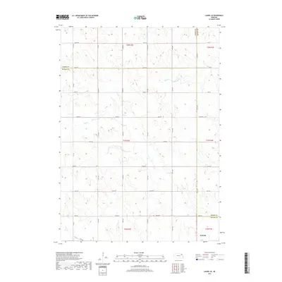
2017 Map of Laurel SE
USGS Topo · Published 2017About this map
Wayne anchors the southern edge of this agricultural landscape where the borders of Wayne, Cedar, and Dixon counties converge. The terrain is defined by a rhythmic series of low ridges and drainages, including the headwaters of Dog Cr, Dry Cr, and Deer Cr. This survey captures the highly organized section-line road network typical of the Great Plains, featuring routes such as 864 Rd and 576th Ave. The map reflects a meticulously partitioned territory divided into Townships t27n r3e and t28n r3e, illustrating how the Public Land Survey System dictated the settlement patterns and infrastructure of northeast Nebraska in the early 21st century.
Find a feature on this map
34 named features on this map. Tap any name to fly to it.
Don’t see what you’re looking for? This feature index may not catch every label — zoom into the map to look around manually.
Map Details
Editions of this 2017 Laurel SE Map
This is the sole edition of this map. No revisions or reprints were ever made.
Other maps of this area

1955 · Sioux City
USGS Topo · 1:250,000

1958 · Sioux City
USGS Topo · 1:250,000

1959 · Sioux City
USGS Topo · 1:250,000

1963 · Winside
USGS Topo · 1:24,000

1963 · Wayne
USGS Topo · 1:24,000

1966 · Altona NW
USGS Topo · 1:24,000

1967 · Wakefield SW
USGS Topo · 1:24,000
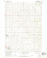
1967 · Concord
USGS Topo · 1:24,000
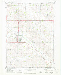
1971 · Laurel
USGS Topo · 1:24,000

1971 · Belden
USGS Topo · 1:24,000