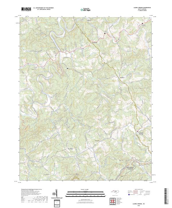
2022 Map of Laurel Springs
USGS Topo · Published 2022About this map
New Wild and Scenic River dominates the northern reaches of this landscape, winding through New River State Park along the border of Ashe and Alleghany Counties. This high-country terrain is defined by its ridge-and-valley structure, where numerous creeks like Prathers Cr and Cranberry Cr feed into the river system. The settlement pattern reflects the area's agricultural and resource-based roots, with small communities such as Scottville, Transou, and Ore Knob situated along winding mountain roads.
Find a feature on this map
135 named features on this map. Tap any name to fly to it.
Don’t see what you’re looking for? This feature index may not catch every label — zoom into the map to look around manually.
Map Details
Editions of this 2022 Laurel Springs Map
This is the sole edition of this map. No revisions or reprints were ever made.
Other maps of this area

1889 · Wytheville
USGS Topo · 1:125,000

1889 · Wilkesboro
USGS Topo · 1:125,000

1891 · Wilkesboro
USGS Topo · 1:125,000

1892 · Wytheville
USGS Topo · 1:125,000

1930 · Independence
USGS Topo · 1:48,000

1933 · Independence
USGS Topo · 1:62,500

1935 · Mouth of Wilson
USGS Topo · 1:48,000

1940 · Mouth of Wilson
USGS Topo · 1:62,500

1953 · Winston-Salem
USGS Topo · 1:250,000

1955 · Winston-Salem
USGS Topo · 1:250,000