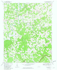
1968 Map of Laurel Springs
USGS Topo · Published 1979About this map
The New River and its South Fork carve a winding course through this section of the Blue Ridge, as mapped in the late 1960s. This survey documents the intersection of Ashe and Wilkes counties alongside Alleghany County, where small rural communities like Scottville and Laurel Springs are established among the high ridges. The landscape is dotted with several houses of worship, including Mt Zion Church, Liberty Hill Ch, and Cranberry Ch, suggesting a tightly knit social structure centered around the local congregations.
Find a feature on this map
56 named features on this map. Tap any name to fly to it.
Don’t see what you’re looking for? This feature index may not catch every label — zoom into the map to look around manually.
Map Details
Editions of this 1968 Laurel Springs Map
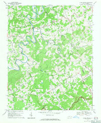
2 editions found
Other maps of this area

1889 · Wytheville
USGS Topo · 1:125,000

1889 · Wilkesboro
USGS Topo · 1:125,000

1891 · Wilkesboro
USGS Topo · 1:125,000

1892 · Wytheville
USGS Topo · 1:125,000

1930 · Independence
USGS Topo · 1:48,000

1933 · Independence
USGS Topo · 1:62,500

1935 · Mouth of Wilson
USGS Topo · 1:48,000

1940 · Mouth of Wilson
USGS Topo · 1:62,500

1953 · Winston-Salem
USGS Topo · 1:250,000

1955 · Winston-Salem
USGS Topo · 1:250,000