Loading...
Loading map...2024 Map of Laurel
USGS Topo · Published 2024About this map
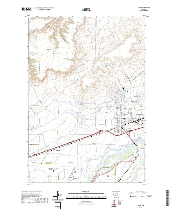
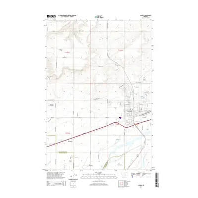
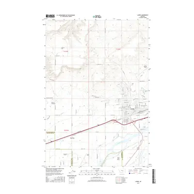
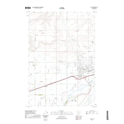
The Yellowstone River and an extensive network of irrigation canals define the agrarian and industrial geography of Laurel, Montana. Settled in the river valley at the border of Yellowstone, Stillwater, and Carbon counties, the area is crisscrossed by essential waterworks including Big Ditch, Cove Ditch, and Italian Ditch. These man-made features support the agricultural lands lying between the southern White Horse Bench and the northern elevations of Clappers Flat.
Find a feature on this map
91 named features on this map. Tap any name to fly to it.
Don’t see what you’re looking for? This feature index may not catch every label — zoom into the map to look around manually.
Map Details
Date Portrayed2024
Date Published2024
PublisherU.S. Geological Survey
Map TypeTopographic
Scale1:24,000
Physical Dimensions24 x 29 inches
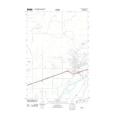
Editions of this 2024 Laurel Map
This is the sole edition of this map. No revisions or reprints were ever made.
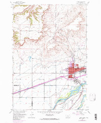
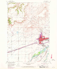
Historical Maps of Laurel Through Time
7 maps found
Featured Locations
Source Details
SourceU.S. Geological Survey
CopyrightPublic Domain