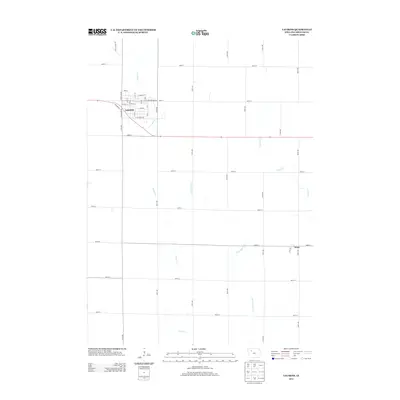
2013 Map of Laurens
USGS Topo · Published 2013About this map
Laurens serves as the primary hub of this Pocahontas County landscape, its grid organized around streets like E Main St and E Section Line Rd. The surrounding countryside is defined by the heavy intersection of drainage and agriculture, where the winding course of Cedar Cr and Lizard Cr meets the engineered precision of Ditch Number 21. In the southeastern corner, the small settlement of Ware sits at the junction of 480th St and 180th Ave, representing the traditional rural crossroads community. The map also documents local landmarks like Airport Rd and the curious Potato Farm Rd, illustrating the intersection of modern infrastructure and the region's deep agricultural roots.
Find a feature on this map
36 named features on this map. Tap any name to fly to it.
Don’t see what you’re looking for? This feature index may not catch every label — zoom into the map to look around manually.
Map Details
Editions of this 2013 Laurens Map
This is the sole edition of this map. No revisions or reprints were ever made.
Other maps of this area

1954 · Fort Dodge
USGS Topo · 1:250,000

1957 · Fort Dodge
USGS Topo · 1:250,000

1958 · Fort Dodge
USGS Topo · 1:250,000

1971 · Albert City
USGS Topo · 1:24,000

1971 · Rush Lake East
USGS Topo · 1:24,000

1971 · Rush Lake West
USGS Topo · 1:24,000

1971 · Laurens
USGS Topo · 1:24,000

1979 · Pocahontas
USGS Topo · 1:24,000

1979 · Varina
USGS Topo · 1:24,000

1979 · Fonda NE
USGS Topo · 1:24,000