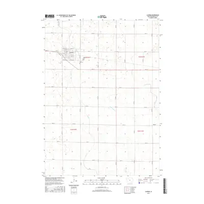
2015 Map of Laurens
USGS Topo · Published 2015About this map
Laurens and the smaller settlement of Ware anchor this Northwest Iowa landscape, where the grid of the Public Land Survey System defines the human footprint on the prairie. The town of Laurens shows a clear residential and commercial layout with streets like E Main St and W Veterans Rd, while the surrounding sections are marked by extensive agricultural infrastructure. The hydrography of the region is characterized by the winding paths of Cedar Cr and Lizard Cr, supplemented by managed drainage systems like Ditch Number 21. Genealogists will find the locations of Laurens Cem and Sacred Heart Cem useful for family research. The northern sections include distinctively named routes such as Potato Farm Rd, indicating the specific agricultural heritage of Pocahontas County.
Find a feature on this map
21 named features on this map. Tap any name to fly to it.
Don’t see what you’re looking for? This feature index may not catch every label — zoom into the map to look around manually.
Map Details
Editions of this 2015 Laurens Map
This is the sole edition of this map. No revisions or reprints were ever made.
Other maps of this area

1954 · Fort Dodge
USGS Topo · 1:250,000

1957 · Fort Dodge
USGS Topo · 1:250,000

1958 · Fort Dodge
USGS Topo · 1:250,000

1971 · Albert City
USGS Topo · 1:24,000

1971 · Rush Lake East
USGS Topo · 1:24,000

1971 · Rush Lake West
USGS Topo · 1:24,000

1971 · Laurens
USGS Topo · 1:24,000

1979 · Pocahontas
USGS Topo · 1:24,000

1979 · Varina
USGS Topo · 1:24,000

1979 · Fonda NE
USGS Topo · 1:24,000