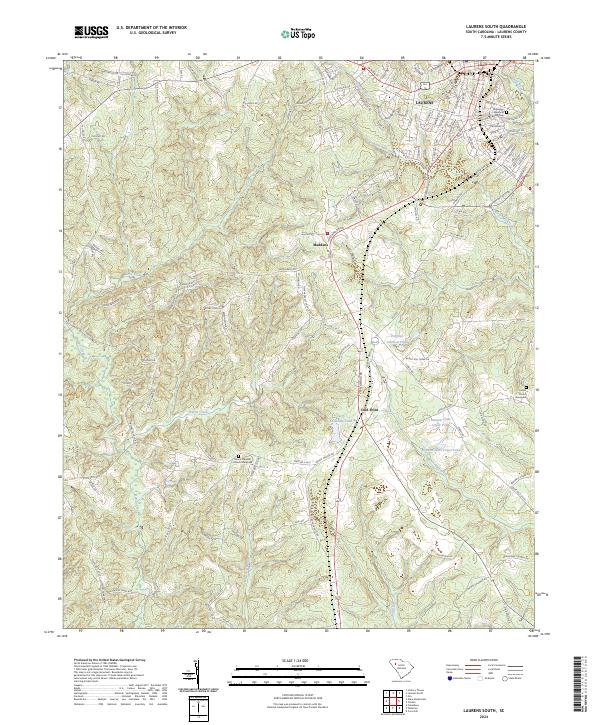
2024 Map of Laurens South
USGS Topo · Published 2024About this map
The town of Laurens sits at the northern edge of this landscape, where the street grid transitions into the winding rural roads of southern Laurens County. Family and community heritage is anchored by sites like the Old Jersey Memorial Cem and the Mount Pleasant Church Graveyard, marking long-standing ties to the land. The terrain is defined by a dense network of waterways including Rabun Creek, Burris Creek, and Beaverdam Creek, which carve through the countryside toward the Little River. Small settlements such as Maddens and Cold Point serve as local crossroads, while several named water bodies like Virginia Coleman Pond and Larry Crenshaw Pond suggest a history of private land management and agricultural ponds that characterize this part of the South Carolina Upstate.
Find a feature on this map
135 named features on this map. Tap any name to fly to it.
Don’t see what you’re looking for? This feature index may not catch every label — zoom into the map to look around manually.
Map Details
Editions of this 2024 Laurens South Map
This is the sole edition of this map. No revisions or reprints were ever made.
Other maps of this area

1892 · Abbeville
USGS Topo · 1:125,000

1941 · Spartanburg
USGS Topo · 1:250,000

1953 · Spartanburg
USGS Topo · 1:250,000

1954 · Greenville
USGS Topo · 1:250,000

1957 · Fountain Inn
USGS Topo · 1:62,500

1958 · Greenville
USGS Topo · 1:250,000

1960 · Spartanburg
USGS Topo · 1:250,000

1963 · Spartanburg
USGS Topo · 1:250,000

1964 · Spartanburg
USGS Topo · 1:250,000

1969 · Ora
USGS Topo · 1:24,000