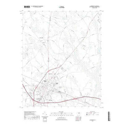
2019 Map of Laurinburg
USGS Topo · Published 2019About this map
The city of Laurinburg serves as the focal point of this Scotland County survey, showing the town's modern footprint and surrounding residential developments. Established neighborhoods such as North View, Middleton Heights, and Lincoln Heights ring the central district, while East Laurinburg sits just to the east. The landscape is marked by numerous family and community burial grounds, including Hillside Cem, Leach Cem, and Sullivan Cem, providing valuable geographic context for local genealogy.
Find a feature on this map
145 named features on this map. Tap any name to fly to it.
Don’t see what you’re looking for? This feature index may not catch every label — zoom into the map to look around manually.
Map Details
Editions of this 2019 Laurinburg Map
This is the sole edition of this map. No revisions or reprints were ever made.
Other maps of this area

1942 · Rockingham
USGS Topo · 1:125,000

1949 · Gibson
USGS Topo · 1:24,000

1949 · Wagram
USGS Topo · 1:24,000

1949 · Laurinburg
USGS Topo · 1:24,000

1949 · Silver Hill
USGS Topo · 1:24,000

1949 · Marston
USGS Topo · 1:24,000

1949 · Wakulla
USGS Topo · 1:24,000

1949 · Hamlet
USGS Topo · 1:62,500

1949 · Laurinburg
USGS Topo · 1:62,500

1953 · Florence
USGS Topo · 1:250,000
Featured Places
- Laurinburg, NC
- East Laurinburg, NC
- Langley Place Mobile Home Park, NC
- McBryde Farm, NC
- Norman Heights, Laurinburg