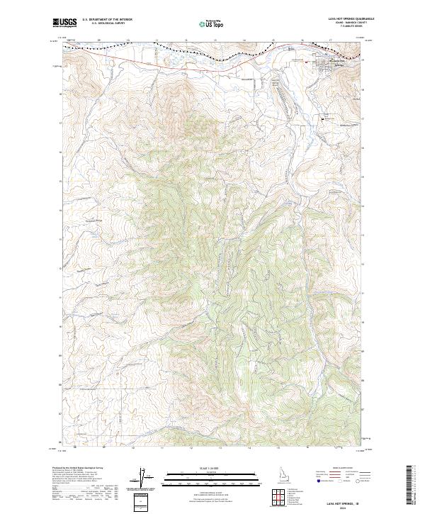
2024 Map of Lava Hot Springs
USGS Topo · Published 2024About this map
The Portneuf River winds through the northern portion of this landscape, anchoring the namesake settlement of Lava Hot Springs and its surrounding canyon topography. This modern survey illustrates the intersection of historical transit routes and specialized local infrastructure, notably the Old Oregon Trail Rd which skirts the river valley. The town's layout is well-defined by streets such as E Elm St and Fife St, while the local Lava Hot Springs Cem and Lava Hot Springs Airport sit on the higher benches overlooking the water.
Find a feature on this map
79 named features on this map. Tap any name to fly to it.
Don’t see what you’re looking for? This feature index may not catch every label — zoom into the map to look around manually.
Map Details
Editions of this 2024 Lava Hot Springs Map
This is the sole edition of this map. No revisions or reprints were ever made.
Other maps of this area

1915 · Preston
USGS Topo · 1:96,000

1918 · Preston
USGS Topo · 1:125,000
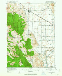
1948 · Bancroft
USGS Topo · 1:62,500
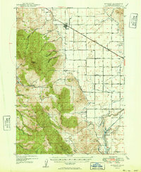
1949 · Bancroft
USGS Topo · 1:62,500

1954 · Pocatello
USGS Topo · 1:250,000

1955 · Preston
USGS Topo · 1:250,000

1958 · Pocatello
USGS Topo · 1:250,000

1958 · Preston
USGS Topo · 1:250,000

1962 · Preston
USGS Topo · 1:250,000
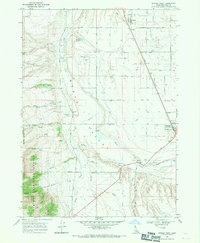
1968 · Downey West
USGS Topo · 1:24,000